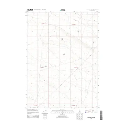
2013 Map of Crows Nest Butte
USGS Topo · Published 2013About this map
Crows Nest Butte rises as a prominent landmark within the expansive Bruneau Desert of Owyhee County. This high-desert landscape is defined by its arid drainage patterns, featuring the sprawling Crows Nest Flat and seasonal water catchments like Crows Nest Lake. The terrain is etched by significant topographical depressions such as Big Draw and Crows Nest Draw, which dictate the local hydrology and movement across the basin. Transportation through this isolated portion of Idaho is facilitated by sparse corridors including Castleford Rd and Clover Rd, which traverse the section lines of the Public Land Survey System. The map captures a moment of modern land management, showing how established ranching and access roads navigate the natural barriers of the Idaho desert.
Find a feature on this map
14 named features on this map. Tap any name to fly to it.
Don’t see what you’re looking for? This feature index may not catch every label — zoom into the map to look around manually.
Map Details
Editions of this 2013 Crows Nest Butte Map
This is the sole edition of this map. No revisions or reprints were ever made.
Other maps of this area

1955 · Twin Falls
USGS Topo · 1:250,000

1956 · Blue Butte
USGS Topo · 1:62,500

1958 · Twin Falls
USGS Topo · 1:250,000

1959 · Crows Nest
USGS Topo · 1:62,500
1980 · Crows Nest
USGS Topo · 1:24,000
1980 · Notch Butte
USGS Topo · 1:24,000

1980 · Clover Butte North
USGS Topo · 1:24,000
1980 · Black Butte East
USGS Topo · 1:24,000
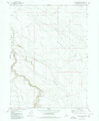
1980 · Juniper Ranch
USGS Topo · 1:24,000
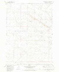
1980 · Crows Nest Butte
USGS Topo · 1:24,000