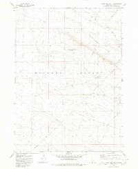
1980 Map of Crows Nest Butte
USGS Topo · Published 1980About this map
Crows Nest Butte dominates this high-desert landscape in Owyhee County, surveyed by the U.S. Geological Survey and edited in 1980. The terrain is characterized by the expansive Bruneau Desert and Crows Nest Flat, where sparse water sources like Pot Hole Creek and Crows Nest Lake serve as critical landmarks for navigation. This region's isolation is underscored by the network of unimproved routes, including a primary Jeep Trail and the Clover Road, which provide the only access through the drainage of Crows Nest Draw. The map details a period when this part of southern Idaho remained largely undeveloped, focused on the natural topography and the primitive trails used by ranchers or early explorers traversing the high plains between mountain ranges.
Find a feature on this map
10 named features on this map. Tap any name to fly to it.
Don’t see what you’re looking for? This feature index may not catch every label — zoom into the map to look around manually.
Map Details
Editions of this 1980 Crows Nest Butte Map
This is the sole edition of this map. No revisions or reprints were ever made.
Other maps of this area

1955 · Twin Falls
USGS Topo · 1:250,000

1956 · Blue Butte
USGS Topo · 1:62,500

1958 · Twin Falls
USGS Topo · 1:250,000

1959 · Crows Nest
USGS Topo · 1:62,500
1980 · Crows Nest
USGS Topo · 1:24,000
1980 · Notch Butte
USGS Topo · 1:24,000

1980 · Clover Butte North
USGS Topo · 1:24,000
1980 · Black Butte East
USGS Topo · 1:24,000
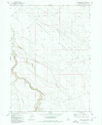
1980 · Juniper Ranch
USGS Topo · 1:24,000
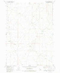
1980 · Horse Butte
USGS Topo · 1:24,000