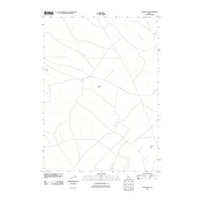
2010 Map of Crows Nest
USGS Topo · Published 2010About this map
Bruneau Desert defines the landscape of this Owyhee County map, where a sparse network of roads and trails cuts through the arid interior. The settlement of Crows Nest sits along the western edge of the quadrangle, connected to the wider region by Balanced Rock Rd. This area is characterized by long, winding drainage systems like Sailor Creek and the deep incision of Juniper Draw in the southeast. The map illustrates the specialized infrastructure of high-desert navigation, focusing on the essential transit corridors that cross this open expanse of southwestern Idaho.
Find a feature on this map
5 named features on this map. Tap any name to fly to it.
Don’t see what you’re looking for? This feature index may not catch every label — zoom into the map to look around manually.
Map Details
Editions of this 2010 Crows Nest Map
This is the sole edition of this map. No revisions or reprints were ever made.
Other maps of this area

1955 · Twin Falls
USGS Topo · 1:250,000

1956 · Blue Butte
USGS Topo · 1:62,500

1958 · Twin Falls
USGS Topo · 1:250,000

1959 · Crows Nest
USGS Topo · 1:62,500

1979 · Coonskin Butte NE
USGS Topo · 1:24,000
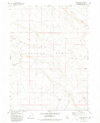
1980 · Crows Nest
USGS Topo · 1:24,000
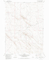
1980 · Notch Butte
USGS Topo · 1:24,000
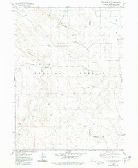
1980 · Castleford Butte
USGS Topo · 1:24,000
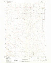
1980 · Crows Nest NE
USGS Topo · 1:24,000
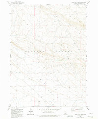
1980 · Black Butte East
USGS Topo · 1:24,000