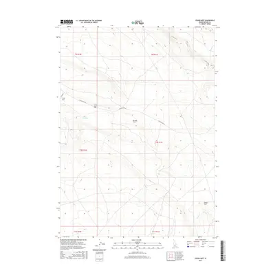
2017 Map of Crows Nest
USGS Topo · Published 2017About this map
The Bruneau Desert landscape of southern Idaho is defined here by wide plateaus and descending drainage draws. The expansive Crows Nest Flat dominates the northwestern portion of the map, situated above the eponymous Crows Nest Draw. The terrain is marked by seasonal watercourses like Sailor Cr and Juniper Draw, which carve into the high desert floor. Human passage through this high, dry environment is facilitated by Balanced Rock Rd and Clover Rd, which represent the primary infrastructure in a region otherwise characterized by vast open range and cattle-ranching townships. The map illustrates the sparse, high-elevation topography where water management and long-distance travel routes were essential to the settlement of Owyhee County.
Find a feature on this map
13 named features on this map. Tap any name to fly to it.
Don’t see what you’re looking for? This feature index may not catch every label — zoom into the map to look around manually.
Map Details
Editions of this 2017 Crows Nest Map
This is the sole edition of this map. No revisions or reprints were ever made.
Other maps of this area

1955 · Twin Falls
USGS Topo · 1:250,000

1956 · Blue Butte
USGS Topo · 1:62,500

1958 · Twin Falls
USGS Topo · 1:250,000

1959 · Crows Nest
USGS Topo · 1:62,500

1979 · Coonskin Butte NE
USGS Topo · 1:24,000
1980 · Crows Nest
USGS Topo · 1:24,000
1980 · Notch Butte
USGS Topo · 1:24,000
1980 · Castleford Butte
USGS Topo · 1:24,000
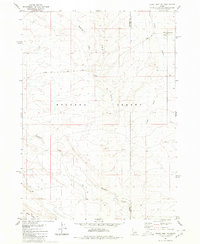
1980 · Crows Nest NE
USGS Topo · 1:24,000
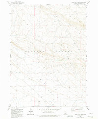
1980 · Black Butte East
USGS Topo · 1:24,000