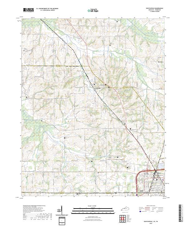
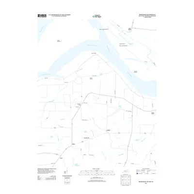
2022 Map of Crutchfield
USGS Topo · Published 2022About this map
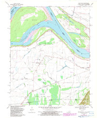
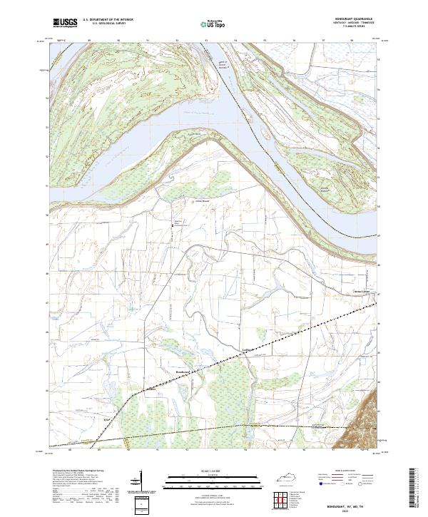
Crutchfield and Beelerton anchor this survey of the Western Waterlands, where the landscape is defined by the winding paths of Bayou de Chien and its tributaries like Cane Cr and Little Bayou de Chien. The area is characterized by a dense concentration of family burial grounds and historical cemeteries, offering significant genealogical value. From the Isham Browder Grave near the Tennessee border to the Binford Family Cem and McFadden Family Cem, these sites reflect generations of local settlement patterns.
Find a feature on this map
97 named features on this map. Tap any name to fly to it.
Don’t see what you’re looking for? This feature index may not catch every label — zoom into the map to look around manually.
Map Details
Editions of this 2022 Crutchfield Map
This is the sole edition of this map. No revisions or reprints were ever made.
Historical Maps of Fulton Through Time
15 maps found
1951 Bondurant
Fulton County, KY
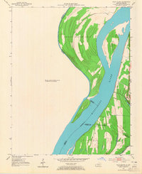
1951 Wolf Island
Fulton County, KY
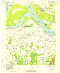
1952 Crutchfield
Fulton County, KY
1969 Bondurant
Fulton County, KY
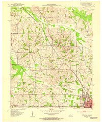
1969 Crutchfield
Fulton County, KY
2010 Bondurant
Fulton County, KY
2010 Crutchfield
Fulton County, KY
2013 Bondurant
Fulton County, KY
2013 Crutchfield
Fulton County, KY
2016 Bondurant
Fulton County, KY
2016 Crutchfield
Fulton County, KY
2019 Bondurant
Fulton County, KY
2019 Crutchfield
Fulton County, KY
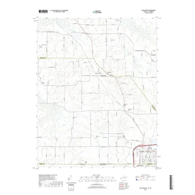
2022 Bondurant
Fulton County, KY
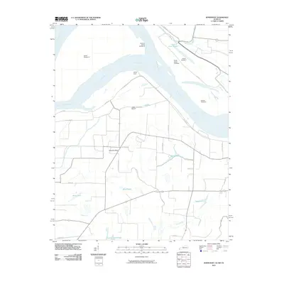
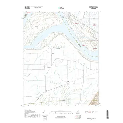
2022 Crutchfield
Fulton County, KY