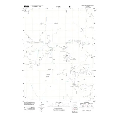
2011 Map of Crystal Mountain
USGS Topo · Published 2011About this map
Crystal Mountain and its surrounding peaks define a landscape defined by mineral extraction and high-altitude exploration in this modern-era study. The area is dotted with numerous specialized mining operations, including the Crystal Mountain Mine, Big Boulder Mine, and the Humphrey Beryl Pegmatite, illustrating the region's geological significance for beryl and mica. Small settlements and landmarks like Box Prairie are situated among the drainages of Buckhorn Creek and Cascade Creek.
Find a feature on this map
67 named features on this map. Tap any name to fly to it.
Don’t see what you’re looking for? This feature index may not catch every label — zoom into the map to look around manually.
Map Details
Editions of this 2011 Crystal Mountain Map
This is the sole edition of this map. No revisions or reprints were ever made.
Other maps of this area

1905 · Mount Olympus
USGS Topo · 1:62,500

1907 · Mount Olympus
USGS Topo · 1:62,500

1907 · Livermore
USGS Topo · 1:125,000

1909 · Livermore
USGS Topo · 1:125,000

1915 · Longs Peak
USGS Topo · 1:125,000

1916 · Home
USGS Topo · 1:125,000

1919 · Rocky Mountain National Park
USGS Topo · 1:125,000

1920 · Home
USGS Topo · 1:125,000

1954 · Greeley
USGS Topo · 1:250,000

1957 · Greeley
USGS Topo · 1:250,000