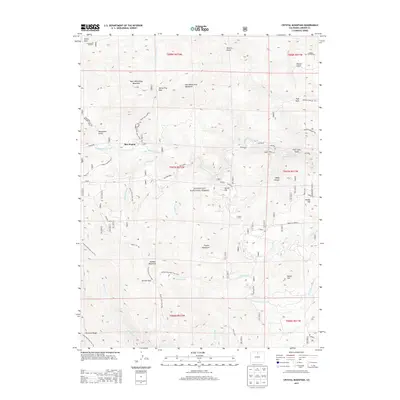
2013 Map of Crystal Mountain
USGS Topo · Published 2013About this map
Box Prairie serves as a central point in this part of the Roosevelt National Forest, where high-elevation terrain and intricate drainage systems define the landscape. The map highlights a complex network of ridges and summits, including the twin peaks of West White Pine Mountain and East White Pine Mountain, separated by White Pine Pass. These heights feed numerous watercourses such as Buckhorn Creek, Cascade Creek, and Miller Fork, which carve through deep gulches and canyons like Poverty Gulch and Lakey Canyon.
Find a feature on this map
55 named features on this map. Tap any name to fly to it.
Don’t see what you’re looking for? This feature index may not catch every label — zoom into the map to look around manually.
Map Details
Editions of this 2013 Crystal Mountain Map
This is the sole edition of this map. No revisions or reprints were ever made.
Other maps of this area

1905 · Mount Olympus
USGS Topo · 1:62,500

1907 · Mount Olympus
USGS Topo · 1:62,500

1907 · Livermore
USGS Topo · 1:125,000

1909 · Livermore
USGS Topo · 1:125,000

1915 · Longs Peak
USGS Topo · 1:125,000

1916 · Home
USGS Topo · 1:125,000

1919 · Rocky Mountain National Park
USGS Topo · 1:125,000

1920 · Home
USGS Topo · 1:125,000

1954 · Greeley
USGS Topo · 1:250,000

1957 · Greeley
USGS Topo · 1:250,000