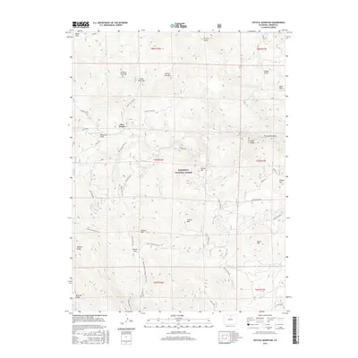
2016 Map of Crystal Mountain
USGS Topo · Published 2016About this map
Roosevelt National Forest defines this high-elevation landscape in Colorado, where the eastern edges of the Mummy Range meet the complex drainage basins of the Front Range. The map centers on the small settlement of Box Prairie, an area defined by its proximity to Box Prairie Creek and the high vantage of White Pine Lookout. This 2016 survey provides a detailed view of the modern trail and forest road systems that have replaced older routes, including the Donner Pass Trail and the Lookout Mountain Trail.
Find a feature on this map
50 named features on this map. Tap any name to fly to it.
Don’t see what you’re looking for? This feature index may not catch every label — zoom into the map to look around manually.
Map Details
Editions of this 2016 Crystal Mountain Map
This is the sole edition of this map. No revisions or reprints were ever made.
Other maps of this area

1905 · Mount Olympus
USGS Topo · 1:62,500

1907 · Mount Olympus
USGS Topo · 1:62,500

1907 · Livermore
USGS Topo · 1:125,000

1909 · Livermore
USGS Topo · 1:125,000

1915 · Longs Peak
USGS Topo · 1:125,000

1916 · Home
USGS Topo · 1:125,000

1919 · Rocky Mountain National Park
USGS Topo · 1:125,000

1920 · Home
USGS Topo · 1:125,000

1954 · Greeley
USGS Topo · 1:250,000

1957 · Greeley
USGS Topo · 1:250,000