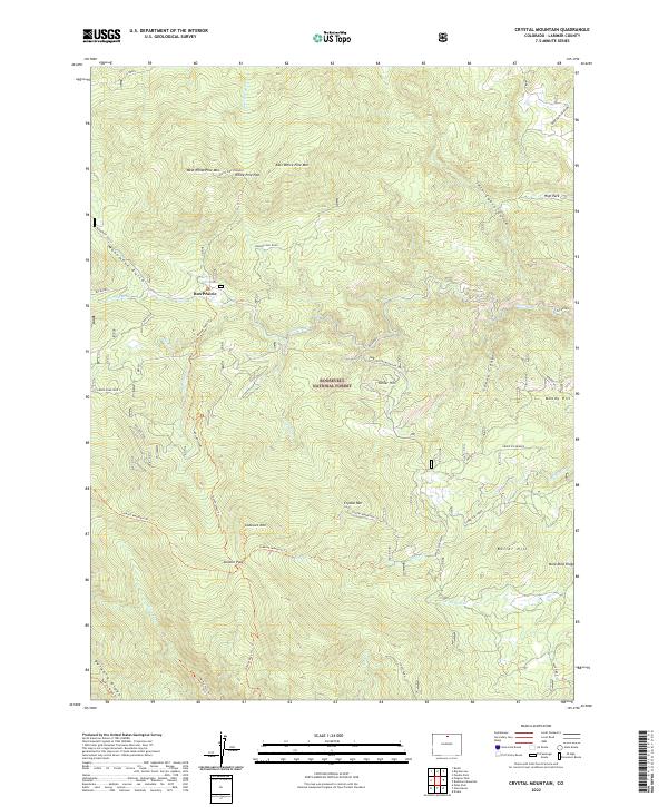
2022 Map of Crystal Mountain
USGS Topo · Published 2022About this map
Roosevelt National Forest defines the rugged verticality of this Larimer County landscape, where high-elevation ridges like Bulwark Ridge and Mica-Mine Ridge intersect with a complex network of drainages. The area is characterized by a mix of early 21st-century conservation land and isolated points of interest, such as the Box Prairie settlement and the high White Pine Lookout. Historical movement through these mountains is etched into the terrain via the Donner Pass Trl and Lookout Mountain Trl, connecting landmarks like Crystal Mtn and East White Pine Mtn. The hydrology is particularly intricate here, with the Miller Fork and N Fork Fish Cr carving deep paths through the forest. This map serves as a primary record of the modern backcountry, documenting the naming of specific features like Boiler Hill and the descriptive Basking Dog Road that provide context for local history and land use.
Find a feature on this map
49 named features on this map. Tap any name to fly to it.
Don’t see what you’re looking for? This feature index may not catch every label — zoom into the map to look around manually.
Map Details
Editions of this 2022 Crystal Mountain Map
This is the sole edition of this map. No revisions or reprints were ever made.
Other maps of this area

1905 · Mount Olympus
USGS Topo · 1:62,500

1907 · Mount Olympus
USGS Topo · 1:62,500

1907 · Livermore
USGS Topo · 1:125,000

1909 · Livermore
USGS Topo · 1:125,000

1915 · Longs Peak
USGS Topo · 1:125,000

1916 · Home
USGS Topo · 1:125,000

1919 · Rocky Mountain National Park
USGS Topo · 1:125,000

1920 · Home
USGS Topo · 1:125,000

1954 · Greeley
USGS Topo · 1:250,000

1957 · Greeley
USGS Topo · 1:250,000