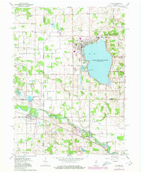
1962 Map of Culver
USGS Topo · Published 1980About this map
Lake Maxinkuckee dominates this landscape, its shoreline shaped by the presence of the Culver Military Academy and the village of Culver. The 1962 topography, updated with revisions from the late 1970s, reveals a complex water system including Lost Lake, Houghton Lake, and several smaller basins like Hartz Lake and Langenbaum Lake that pockmark the glacial terrain.
Find a feature on this map
43 named features on this map. Tap any name to fly to it.
Don’t see what you’re looking for? This feature index may not catch every label — zoom into the map to look around manually.
Map Details
Editions of this 1962 Culver Map
Other maps of this area

1953 · Chicago
USGS Topo · 1:250,000

1957 · Chicago
USGS Topo · 1:250,000

1957 · Knox East
USGS Topo · 1:24,000

1957 · Plymouth
USGS Topo · 1:24,000

1958 · Donaldson
USGS Topo · 1:24,000

1962 · Pershing
USGS Topo · 1:24,000

1962 · Winamac
USGS Topo · 1:24,000

1962 · Kewanna
USGS Topo · 1:24,000

1962 · Bass Lake
USGS Topo · 1:24,000

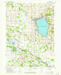
1962 · Culver
USGS Topo · 1:24,000