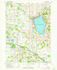
1962 Map of Culver
USGS Topo · Published 1976About this map
Lake Maxinkuckee serves as the focal point of this Northern Indiana landscape, its eastern shoreline defined by the prominent Culver Military Academy and its Airport. To the west, the town of Culver transitions into a grid of agricultural land and drainage systems, including Lowry Ditch and Hawkins Ditch. The map reveals the intersection of two major rail lines, the Pennsylvania and the Erie-Lackawanna, which facilitated the transport and travel of the mid-20th century.
Find a feature on this map
49 named features on this map. Tap any name to fly to it.
Don’t see what you’re looking for? This feature index may not catch every label — zoom into the map to look around manually.
Map Details
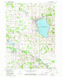
Editions of this 1962 Culver Map
Other maps of this area

1953 · Chicago
USGS Topo · 1:250,000

1957 · Chicago
USGS Topo · 1:250,000

1957 · Knox East
USGS Topo · 1:24,000

1957 · Plymouth
USGS Topo · 1:24,000

1958 · Donaldson
USGS Topo · 1:24,000

1962 · Pershing
USGS Topo · 1:24,000

1962 · Winamac
USGS Topo · 1:24,000

1962 · Kewanna
USGS Topo · 1:24,000

1962 · Bass Lake
USGS Topo · 1:24,000

1962 · Culver
USGS Topo · 1:24,000