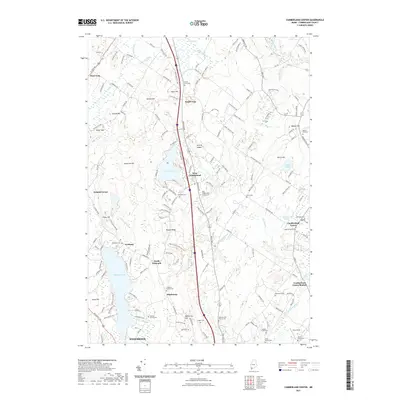
2021 Map of Cumberland Center
USGS Topo · Published 2021About this map
Forest Lake and the Piscataqua River basin serve as the centerpiece of this coastal Maine landscape, where old road networks connect a series of small, historic communities. The settlement patterns of West Cumberland, Cumberland Center, and Scotland are clearly defined, showing the transition from agricultural tracts like Deer Brook Farm to contemporary residential corridors.
Find a feature on this map
176 named features on this map. Tap any name to fly to it.
Don’t see what you’re looking for? This feature index may not catch every label — zoom into the map to look around manually.
Map Details
Editions of this 2021 Cumberland Center Map
This is the sole edition of this map. No revisions or reprints were ever made.
Other maps of this area

1891 · Portland
USGS Topo · 1:62,500

1892 · Freeport
USGS Topo · 1:62,500

1893 · Portland
USGS Topo · 1:62,500

1893 · Casco Bay
USGS Topo · 1:62,500

1894 · Gray
USGS Topo · 1:62,500

1898 · Gray
USGS Topo · 1:62,500

1914 · Portland
USGS Topo · 1:48,000

1914 · Casco Bay
USGS Topo · 1:48,000

1916 · Portland
USGS Topo · 1:62,500

1916 · Casco Bay
USGS Topo · 1:62,500