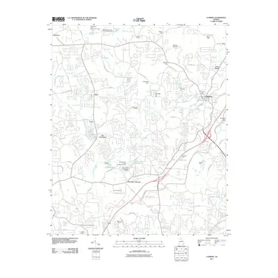
2011 Map of Cumming
USGS Topo · Published 2011About this map
Sawnee Mountain dominates the northern skyline of this Forsyth County landscape, where the ridges of Sawnee Gap and Chamblee Gap overlook a rapidly developing Piedmont corridor. The city of Cumming serves as the central hub, supported by the Cumming Post Office and several historic burial grounds including Cumming City Cemetery. The transition from rural homesteads to modern suburban patterns is evident in the dense network of roads like Franklin Goldmine Rd and Drew Campground Rd connecting older settlements such as Ducktown and Drew.
Find a feature on this map
102 named features on this map. Tap any name to fly to it.
Don’t see what you’re looking for? This feature index may not catch every label — zoom into the map to look around manually.
Map Details
Editions of this 2011 Cumming Map
This is the sole edition of this map. No revisions or reprints were ever made.
Other maps of this area

1890 · Suwanee
USGS Topo · 1:125,000

1894 · Suwanee
USGS Topo · 1:125,000

1926 · Tate
USGS Topo · 1:62,500

1928 · Tate
USGS Topo · 1:62,500

1955 · Rome
USGS Topo · 1:250,000

1956 · Duluth
USGS Topo · 1:24,000

1956 · Roswell
USGS Topo · 1:24,000

1956 · Birmingham
USGS Topo · 1:24,000

1958 · Rome
USGS Topo · 1:250,000

1961 · Rome
USGS Topo · 1:250,000