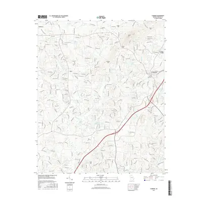
2017 Map of Cumming
USGS Topo · Published 2017About this map
Sawnee Mtn anchors this portion of Forsyth County, presiding over a landscape defined by several prominent gaps, including Tribble Gap, Bettes Gap, Sawnee Gap, and Chamblee Gap. This detailed 2017 study illustrates the modern suburban and rural patterns surrounding the city of Cumming, showing the expansion of residential developments alongside long-standing local landmarks. Genealogists can locate numerous burial sites across the area, from the central Cumming City Cem to the outlying Friendship Cem and Bethlehem Cem. The map tracks a complex hydrologic network, featuring Big Cr and the Cumming Twin Lakes, alongside industrial or agricultural sites like Mashburn Mill Lake. Smaller settlements such as Ducktown, Drew, and Wilkie are documented, while Stoney Point Field and various reservoirs like Reservoir 30-A indicate the managed landscape of the 21st century.
Find a feature on this map
242 named features on this map. Tap any name to fly to it.
Don’t see what you’re looking for? This feature index may not catch every label — zoom into the map to look around manually.
Map Details
Editions of this 2017 Cumming Map
This is the sole edition of this map. No revisions or reprints were ever made.
Other maps of this area

1890 · Suwanee
USGS Topo · 1:125,000

1894 · Suwanee
USGS Topo · 1:125,000

1926 · Tate
USGS Topo · 1:62,500

1928 · Tate
USGS Topo · 1:62,500

1955 · Rome
USGS Topo · 1:250,000

1956 · Duluth
USGS Topo · 1:24,000

1956 · Roswell
USGS Topo · 1:24,000

1956 · Birmingham
USGS Topo · 1:24,000

1958 · Rome
USGS Topo · 1:250,000

1961 · Rome
USGS Topo · 1:250,000