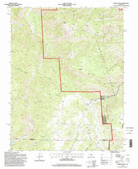
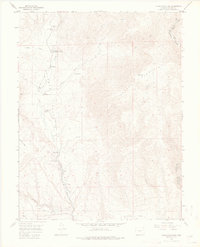
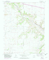
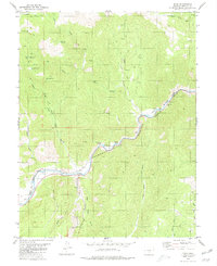
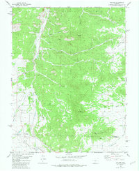
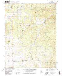
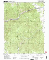
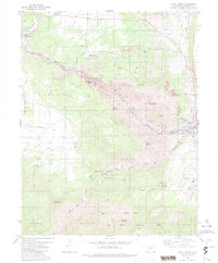
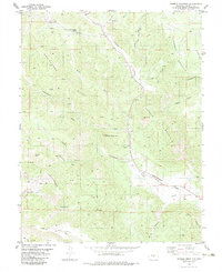
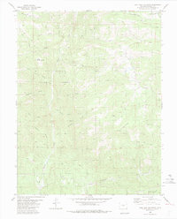
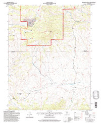
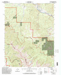
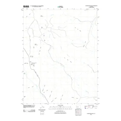
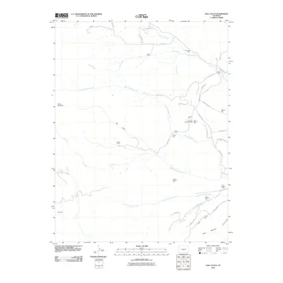
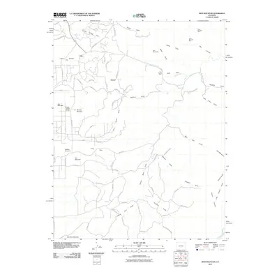
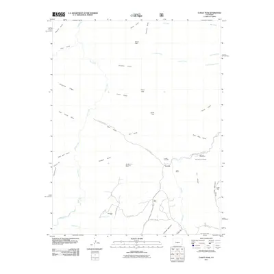
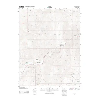
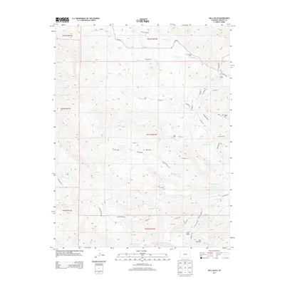
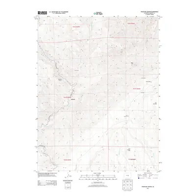
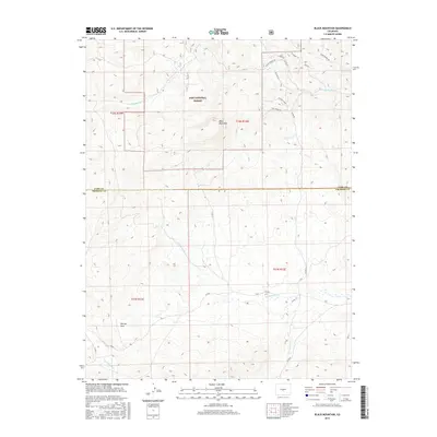
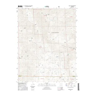
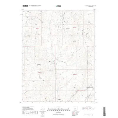
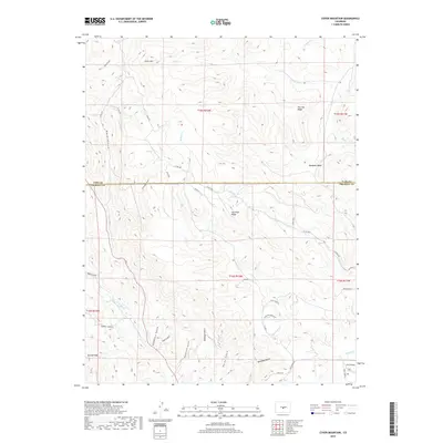
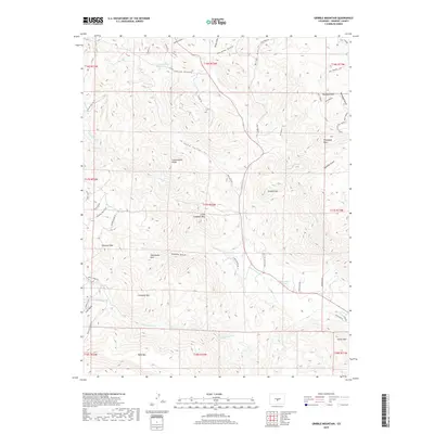
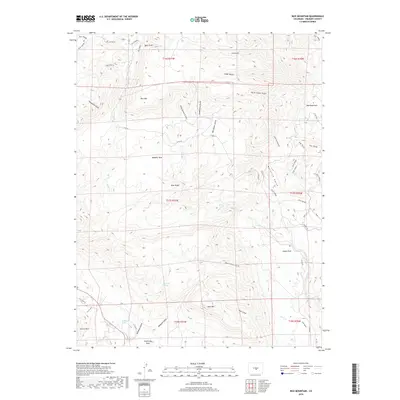
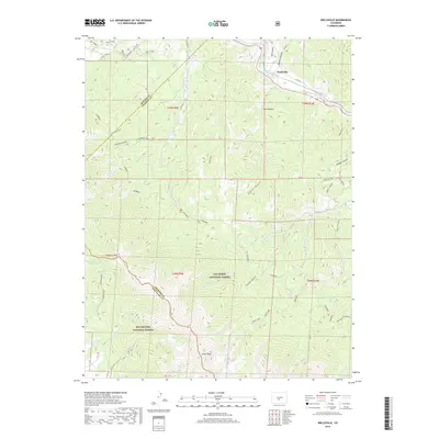
1994 Map of Curley Peak
USGS Topo · Published 1998About this map
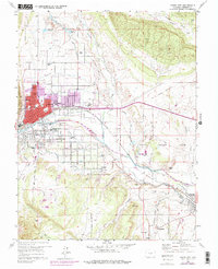
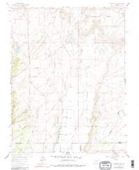
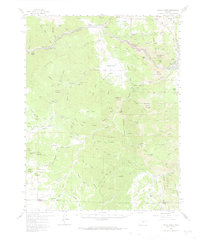
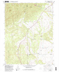
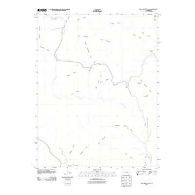
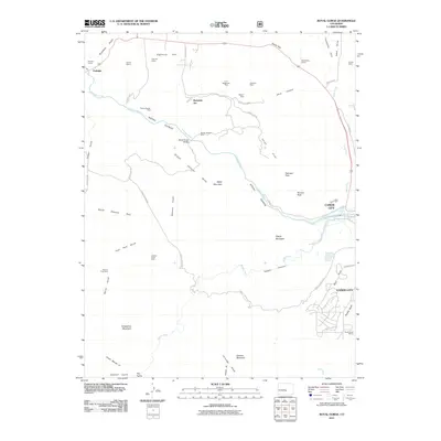
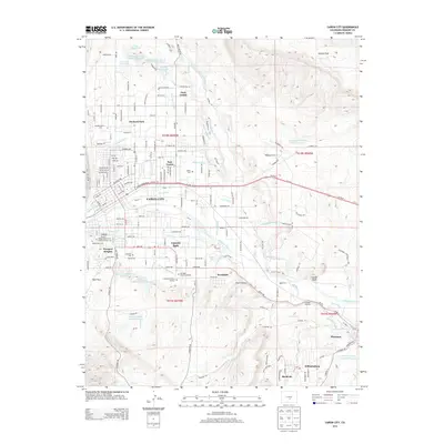
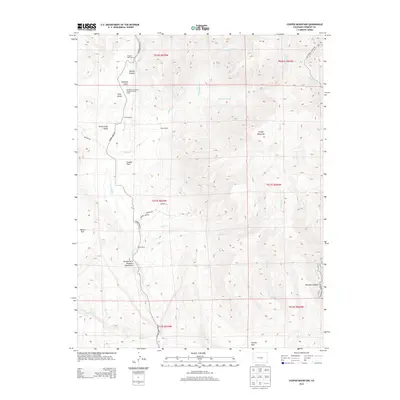
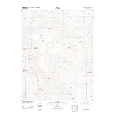
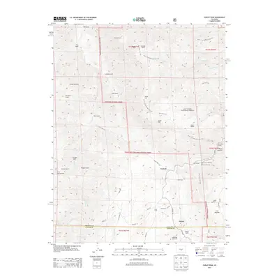
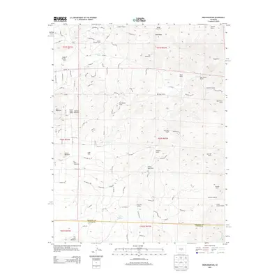
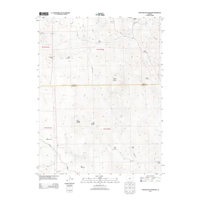
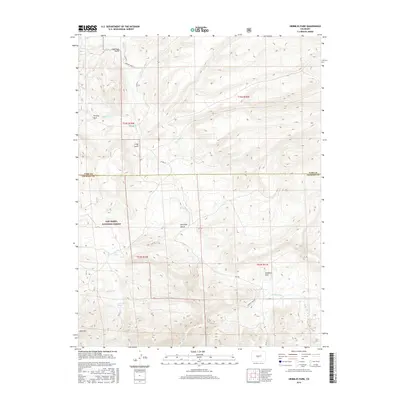
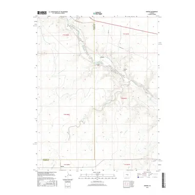
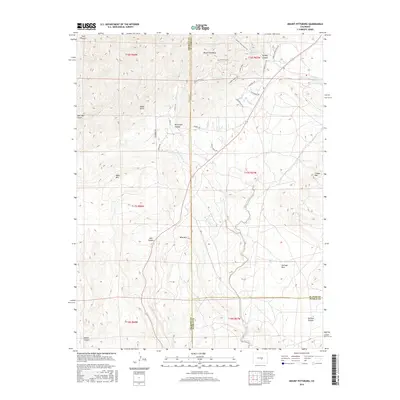
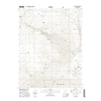
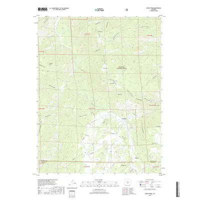
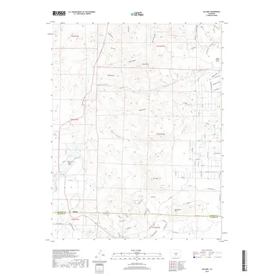
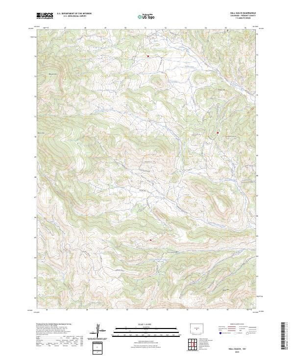
Yorkville serves as a small point of habitation within the high-elevation landscape of the Isabel National Forest during the mid-1990s. The area is defined by a dense network of gulches and ridges, where Grape Creek and its many tributaries, such as Isinglass Gulch and Hellgate Gulch, have carved deep into the terrain. The map captures the meeting of Fremont and Custer counties, marked by the Standard Parallel South and a series of prominent summits including Curley Peak and Tanner Peak.
Find a feature on this map
40 named features on this map. Tap any name to fly to it.
Don’t see what you’re looking for? This feature index may not catch every label — zoom into the map to look around manually.
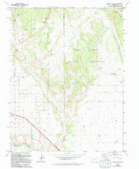
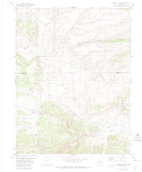
Map Details
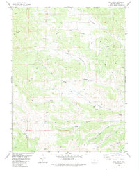
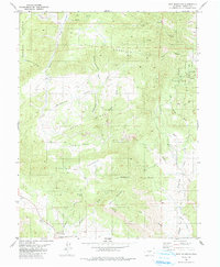
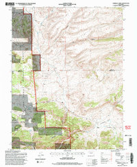
Editions of this 1994 Curley Peak Map
This is the sole edition of this map. No revisions or reprints were ever made.
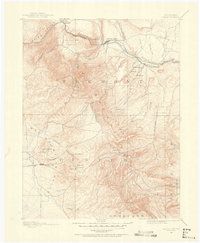
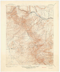
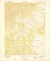
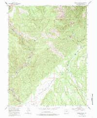
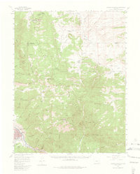
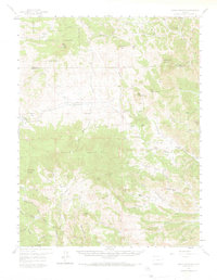
Historical Maps of Yorkville Through Time
166 maps found
1889 Canon City
Fremont County, CO
1892 Canon City
Fremont County, CO

1942 Cover Mtn.
Fremont County, CO

1948 Cover Mtn.
Fremont County, CO

1948 Mount Pittsburg
Fremont County, CO
1949 Mount Pittsburg
Fremont County, CO
1954 Cooper Mountain
Fremont County, CO
1954 Phantom Canyon
Fremont County, CO
1956 Cameron Mountain
Fremont County, CO
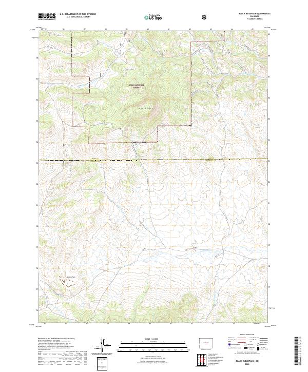
1959 Black Mountain
Fremont County, CO
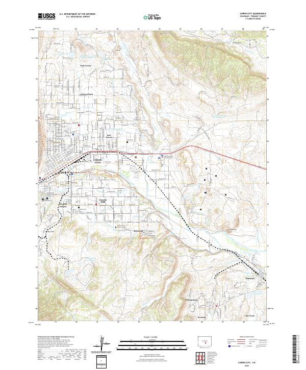
1959 Canon City
Fremont County, CO
1959 Florence SE
Fremont County, CO
1959 Royal Gorge
Fremont County, CO
1961 Mount Pittsburg
Fremont County, CO
1963 Hobson
Fremont County, CO
1963 Pierce Gulch
Fremont County, CO
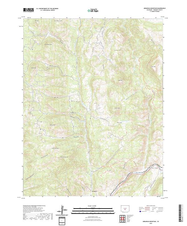
1980 Arkansas Mountain
Fremont County, CO
1980 Curley Peak
Fremont County, CO
1980 Echo
Fremont County, CO
1980 Hillside
Fremont County, CO
1980 Iron Mountain
Fremont County, CO
1980 Mc Intyre Hills
Fremont County, CO
1980 Royal Gorge
Fremont County, CO
1980 Wellsville
Fremont County, CO

1982 Canon City
Fremont County, CO
1983 Black Mountain
Fremont County, CO
1983 Cover Mountain
Fremont County, CO
1983 Gribble Mountain
Fremont County, CO
1983 Gribbles Park
Fremont County, CO
1983 Hall Gulch
Fremont County, CO
1983 High Park
Fremont County, CO
1983 Jack Hall Mountain
Fremont County, CO
1983 Rice Mountain
Fremont County, CO
1983 Thirtyone Mile Mountain
Fremont County, CO
1983 Waugh Mountain
Fremont County, CO
1994 Black Mountain
Fremont County, CO
1994 Curley Peak
Fremont County, CO
1994 Gribbles Park
Fremont County, CO
1994 Jack Hall Mountain
Fremont County, CO
1994 Royal Gorge
Fremont County, CO
1994 Wellsville
Fremont County, CO
2010 Arkansas Mountain
Fremont County, CO
2010 Canon City
Fremont County, CO
2010 Cooper Mountain
Fremont County, CO
2010 Cover Mountain
Fremont County, CO
2010 Echo
Fremont County, CO
2010 Florence SE
Fremont County, CO
2010 Gribble Mountain
Fremont County, CO
2010 Hall Gulch
Fremont County, CO
2010 High Park
Fremont County, CO
2010 Hillside
Fremont County, CO
2010 Hobson
Fremont County, CO
2010 Iron Mountain
Fremont County, CO
2010 McIntyre Hills
Fremont County, CO
2010 Mount Pittsburg
Fremont County, CO
2010 Pierce Gulch
Fremont County, CO
2010 Rice Mountain
Fremont County, CO
2010 Thirtyone Mile Mountain
Fremont County, CO
2010 Waugh Mountain
Fremont County, CO
2011 Black Mountain
Fremont County, CO
2011 Curley Peak
Fremont County, CO
2011 Gribbles Park
Fremont County, CO
2011 Jack Hall Mountain
Fremont County, CO
2011 Phantom Canyon
Fremont County, CO
2011 Royal Gorge
Fremont County, CO
2011 Wellsville
Fremont County, CO
2013 Arkansas Mountain
Fremont County, CO
2013 Black Mountain
Fremont County, CO
2013 Canon City
Fremont County, CO
2013 Cooper Mountain
Fremont County, CO
2013 Cover Mountain
Fremont County, CO
2013 Curley Peak
Fremont County, CO
2013 Echo
Fremont County, CO
2013 Florence SE
Fremont County, CO
2013 Gribble Mountain
Fremont County, CO
2013 Gribbles Park
Fremont County, CO
2013 Hall Gulch
Fremont County, CO
2013 High Park
Fremont County, CO
2013 Hillside
Fremont County, CO
2013 Hobson
Fremont County, CO
2013 Iron Mountain
Fremont County, CO
2013 Jack Hall Mountain
Fremont County, CO
2013 McIntyre Hills
Fremont County, CO
2013 Mount Pittsburg
Fremont County, CO
2013 Phantom Canyon
Fremont County, CO
2013 Pierce Gulch
Fremont County, CO
2013 Rice Mountain
Fremont County, CO
2013 Royal Gorge
Fremont County, CO
2013 Thirtyone Mile Mountain
Fremont County, CO
2013 Waugh Mountain
Fremont County, CO
2013 Wellsville
Fremont County, CO
2016 Arkansas Mountain
Fremont County, CO
2016 Black Mountain
Fremont County, CO
2016 Canon City
Fremont County, CO
2016 Cooper Mountain
Fremont County, CO
2016 Cover Mountain
Fremont County, CO
2016 Curley Peak
Fremont County, CO
2016 Echo
Fremont County, CO
2016 Florence SE
Fremont County, CO
2016 Gribble Mountain
Fremont County, CO
2016 Gribbles Park
Fremont County, CO
2016 Hall Gulch
Fremont County, CO
2016 High Park
Fremont County, CO
2016 Hillside
Fremont County, CO
2016 Hobson
Fremont County, CO
2016 Iron Mountain
Fremont County, CO
2016 Jack Hall Mountain
Fremont County, CO
2016 McIntyre Hills
Fremont County, CO
2016 Mount Pittsburg
Fremont County, CO
2016 Phantom Canyon
Fremont County, CO
2016 Pierce Gulch
Fremont County, CO
2016 Rice Mountain
Fremont County, CO
2016 Royal Gorge
Fremont County, CO
2016 Thirtyone Mile Mountain
Fremont County, CO
2016 Waugh Mountain
Fremont County, CO
2016 Wellsville
Fremont County, CO
2019 Arkansas Mountain
Fremont County, CO
2019 Black Mountain
Fremont County, CO
2019 Canon City
Fremont County, CO
2019 Cooper Mountain
Fremont County, CO
2019 Cover Mountain
Fremont County, CO
2019 Curley Peak
Fremont County, CO
2019 Echo
Fremont County, CO
2019 Florence SE
Fremont County, CO
2019 Gribble Mountain
Fremont County, CO
2019 Gribbles Park
Fremont County, CO
2019 Hall Gulch
Fremont County, CO
2019 High Park
Fremont County, CO
2019 Hillside
Fremont County, CO
2019 Hobson
Fremont County, CO
2019 Iron Mountain
Fremont County, CO
2019 Jack Hall Mountain
Fremont County, CO
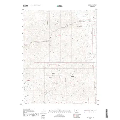
2019 McIntyre Hills
Fremont County, CO
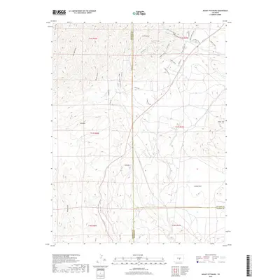
2019 Mount Pittsburg
Fremont County, CO
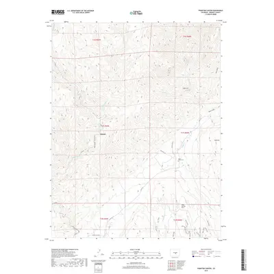
2019 Phantom Canyon
Fremont County, CO
2019 Pierce Gulch
Fremont County, CO
2019 Rice Mountain
Fremont County, CO
2019 Royal Gorge
Fremont County, CO
2019 Thirtyone Mile Mountain
Fremont County, CO
2019 Waugh Mountain
Fremont County, CO
2019 Wellsville
Fremont County, CO
2022 Arkansas Mountain
Fremont County, CO
2022 Black Mountain
Fremont County, CO
2022 Canon City
Fremont County, CO
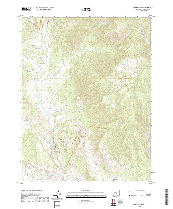
2022 Cooper Mountain
Fremont County, CO
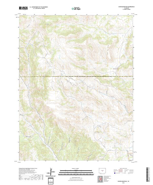
2022 Cover Mountain
Fremont County, CO
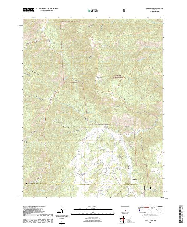
2022 Curley Peak
Fremont County, CO
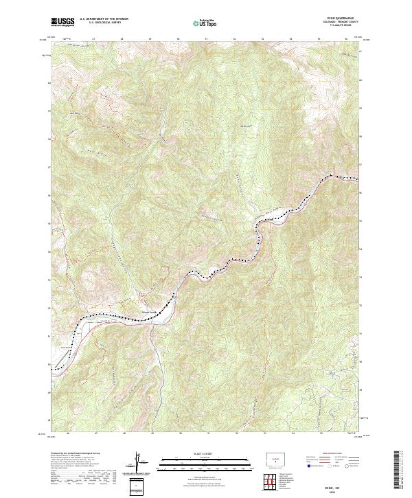
2022 Echo
Fremont County, CO
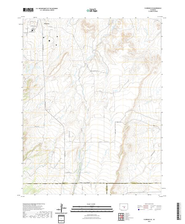
2022 Florence SE
Fremont County, CO
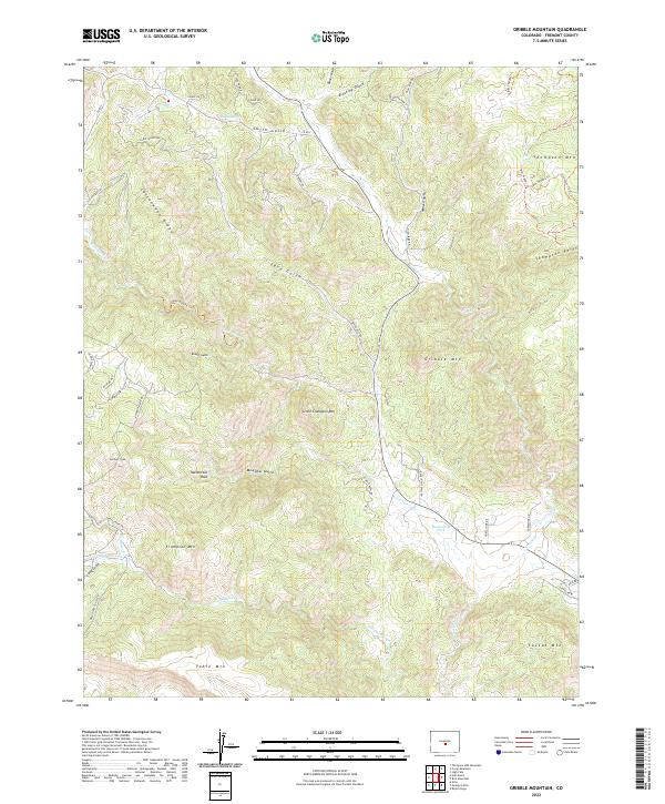
2022 Gribble Mountain
Fremont County, CO

2022 Gribbles Park
Fremont County, CO
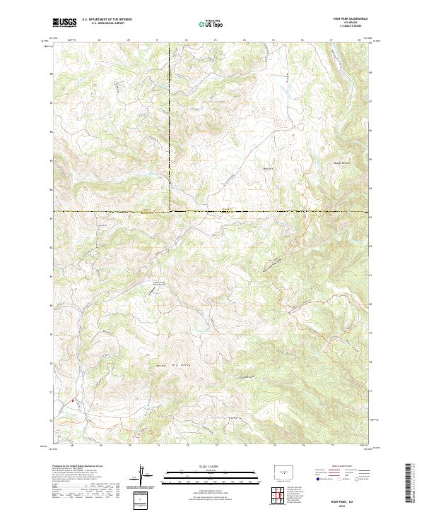
2022 High Park
Fremont County, CO
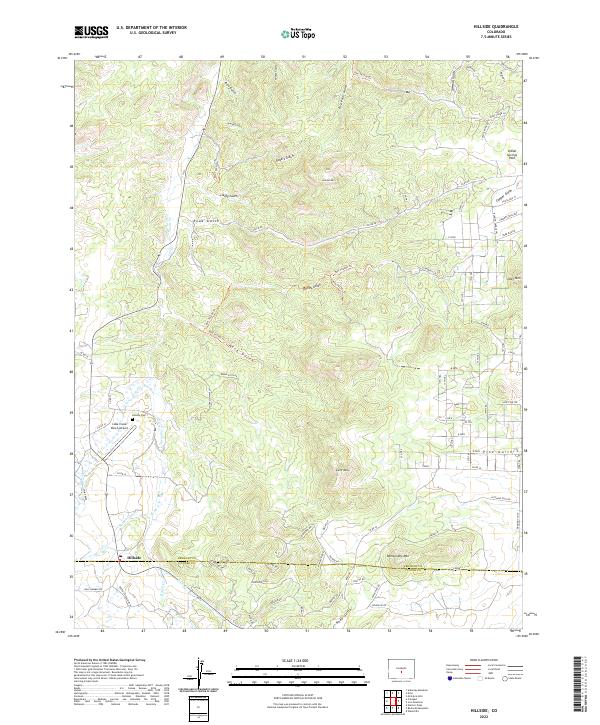
2022 Hillside
Fremont County, CO
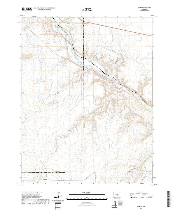
2022 Hobson
Fremont County, CO
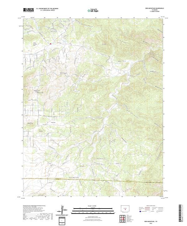
2022 Iron Mountain
Fremont County, CO
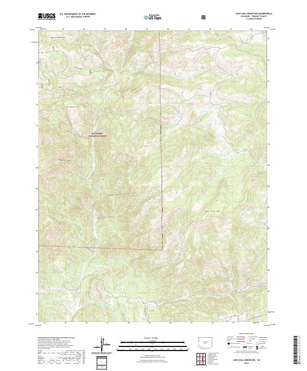
2022 Jack Hall Mountain
Fremont County, CO
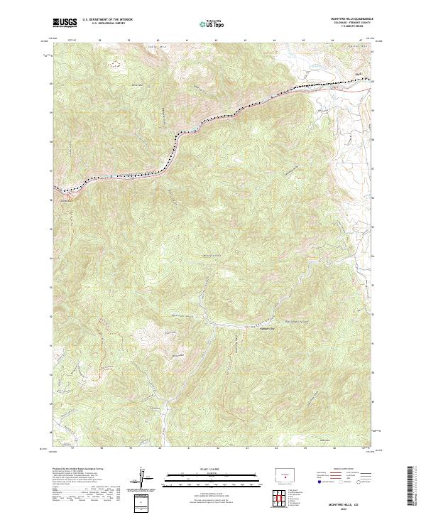
2022 McIntyre Hills
Fremont County, CO
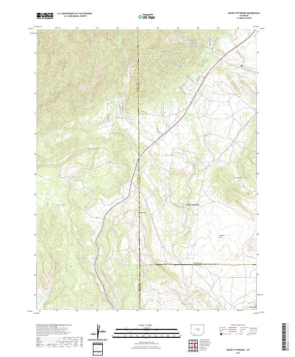
2022 Mount Pittsburg
Fremont County, CO
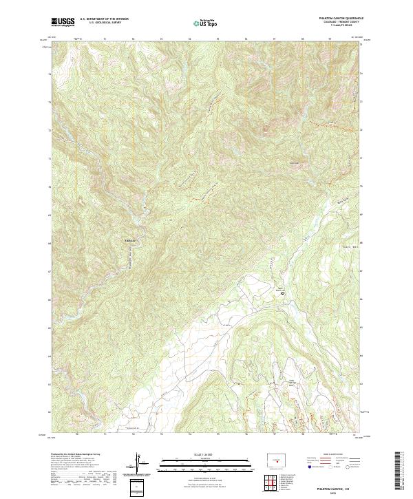
2022 Phantom Canyon
Fremont County, CO
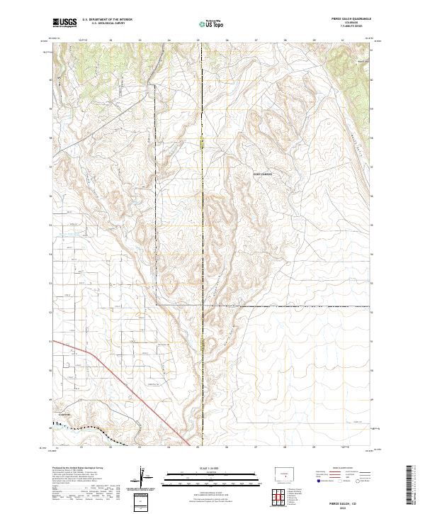
2022 Pierce Gulch
Fremont County, CO
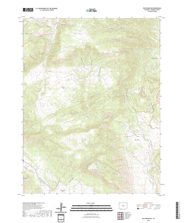
2022 Rice Mountain
Fremont County, CO
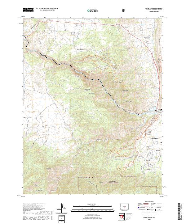
2022 Royal Gorge
Fremont County, CO
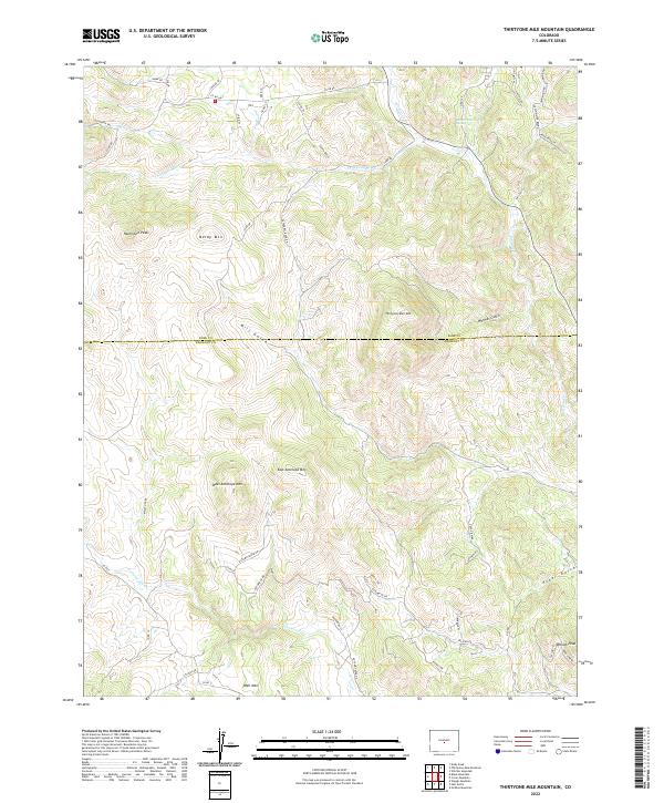
2022 Thirtyone Mile Mountain
Fremont County, CO
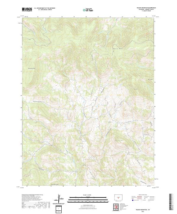
2022 Waugh Mountain
Fremont County, CO
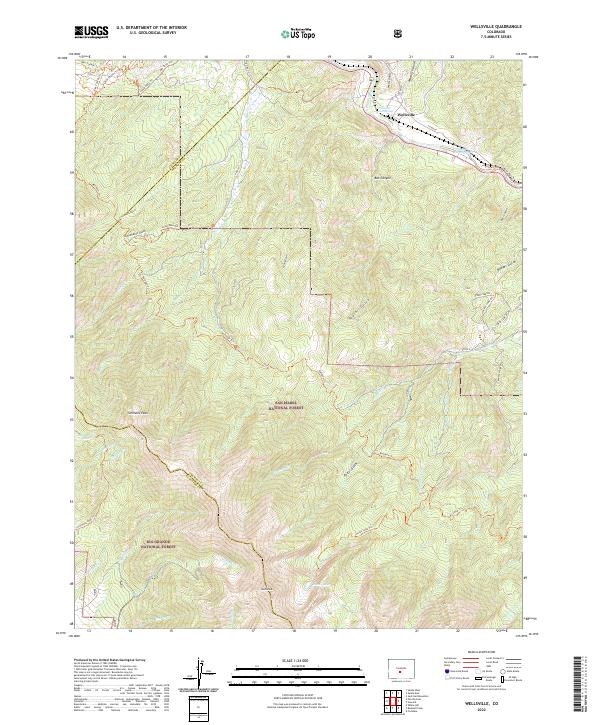
2022 Wellsville
Fremont County, CO
2023 Hall Gulch
Fremont County, CO