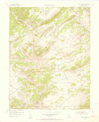
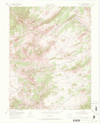
1954 Map of Mount Tyndall
USGS Topo · Published 1956About this map
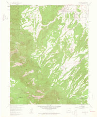
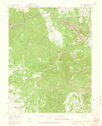
Bassick Mine and the mining settlements of Rosita and Querida anchor the southern portion of this mid-century Custer County survey. The landscape is defined by the high elevations of the Wet Mountains, featuring prominent landmarks like Mount Tyndall, Mt Herring, and Bear Peak. Agricultural and ranching life is visible through the scattered locations of the Armstrong Ranch, Jones Ranch, and Kness Ranch. The presence of the Dry Lake Sch (Aband) near Dry Lake suggests a shift in the local population and educational geography by the early 1950s. Water drainage patterns are dictated by numerous named gulches, including Mule Gulch, Boneyard Gulch, and Tyndall Gulch, which carve through the Rosita Hills and the slopes of Excelsior Ridge.
Find a feature on this map
32 named features on this map. Tap any name to fly to it.
Don’t see what you’re looking for? This feature index may not catch every label — zoom into the map to look around manually.
Map Details
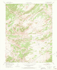
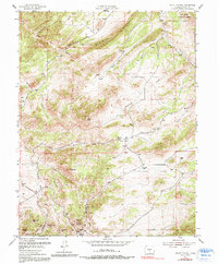
Editions of this 1954 Mount Tyndall Map
6 editions found
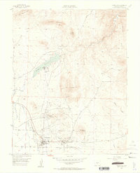
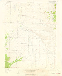
Other maps of this area

1889 · Canon City
USGS Topo · 1:125,000

1892 · Canon City
USGS Topo · 1:125,000

1954 · Rosita
USGS Topo · 1:24,000

1954 · Pueblo
USGS Topo · 1:250,000
1955 · Westcliffe
USGS Topo · 1:24,000

1957 · Pueblo
USGS Topo · 1:250,000
1957 · Aldrich Gulch
USGS Topo · 1:24,000

1958 · Pueblo
USGS Topo · 1:250,000
1959 · Rockvale
USGS Topo · 1:24,000
1959 · Royal Gorge
USGS Topo · 1:62,500