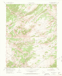
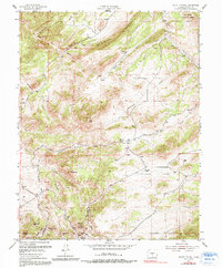
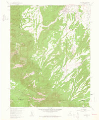
1954 Map of Mount Tyndall
USGS Topo · Published 1966About this map
Rosita Hills and the rugged eastern slopes of the Wet Mountains define this mid-century landscape in Custer County. The map documents the high-altitude ranching and mining heritage of the region, anchored by the settlements of Rosita and Querida. Evidence of earlier community life is found at the Dry Lake Sch (Aband), while active land use is marked by a network of family-held properties including Armstrong Ranch, Jones Ranch, and McKenzie Ranch.
Find a feature on this map
34 named features on this map. Tap any name to fly to it.
Don’t see what you’re looking for? This feature index may not catch every label — zoom into the map to look around manually.
Map Details
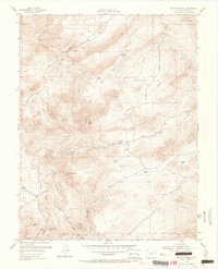
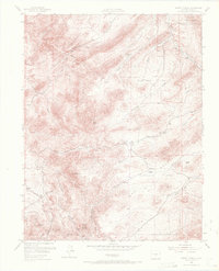
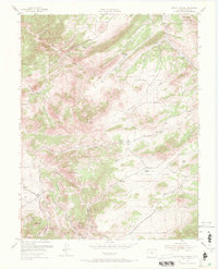
Editions of this 1954 Mount Tyndall Map
6 editions found
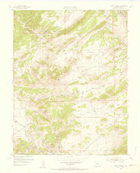
Other maps of this area

1889 · Canon City
USGS Topo · 1:125,000

1892 · Canon City
USGS Topo · 1:125,000
1954 · Mount Tyndall
USGS Topo · 1:24,000

1954 · Rosita
USGS Topo · 1:24,000

1954 · Pueblo
USGS Topo · 1:250,000
1955 · Westcliffe
USGS Topo · 1:24,000

1957 · Pueblo
USGS Topo · 1:250,000
1957 · Aldrich Gulch
USGS Topo · 1:24,000

1958 · Pueblo
USGS Topo · 1:250,000
1959 · Rockvale
USGS Topo · 1:24,000