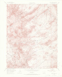
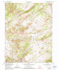
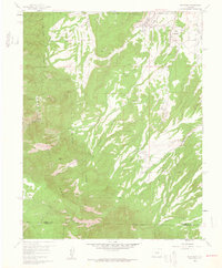
1954 Map of Mount Tyndall
USGS Topo · Published 1972About this map
Mount Tyndall and the surrounding Rosita Hills define this high-altitude mining landscape in Custer County. In the mid-1950s, the terrain was characterized by a scattered network of established cattle operations such as Armstrong Ranch, Jones Ranch, and Tomjack Ranch. The presence of Querida and Querida Gulch points to the area's silver-mining legacy, while the Dry Lake Sch (Site) provides a specific coordinate for locating a former community center in this remote part of the Wet Mountains.
Find a feature on this map
32 named features on this map. Tap any name to fly to it.
Don’t see what you’re looking for? This feature index may not catch every label — zoom into the map to look around manually.
Map Details
Editions of this 1954 Mount Tyndall Map
6 editions found
Other maps of this area

1889 · Canon City
USGS Topo · 1:125,000

1892 · Canon City
USGS Topo · 1:125,000
1954 · Mount Tyndall
USGS Topo · 1:24,000

1954 · Rosita
USGS Topo · 1:24,000

1954 · Pueblo
USGS Topo · 1:250,000
1955 · Westcliffe
USGS Topo · 1:24,000

1957 · Pueblo
USGS Topo · 1:250,000
1957 · Aldrich Gulch
USGS Topo · 1:24,000

1958 · Pueblo
USGS Topo · 1:250,000
1959 · Rockvale
USGS Topo · 1:24,000