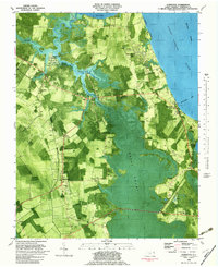
1982 Map of Currituck
USGS Topo · Published 1983About this map
The North Landing River and the Intracoastal Waterway define the eastern coastal boundary of this North Carolina landscape, where the tides of the Great Swamp meet the established agricultural and transit corridors of the mainland. The area's transit heritage is visible in the alignment of the Norfolk Southern railroad serving settlements like Snowden, Sligo, and Shawboro. The map also captures the essential maritime connections of the county seat at Currituck, specifically the Knotts Island Ferry terminal and nearby Plymoor Mem Ch.
Find a feature on this map
37 named features on this map. Tap any name to fly to it.
Don’t see what you’re looking for? This feature index may not catch every label — zoom into the map to look around manually.
Map Details
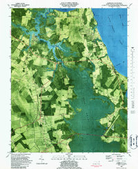
Editions of this 1982 Currituck Map
2 editions found
Other maps of this area

1893 · Virginia Beach
USGS Topo · 1:125,000

1916 · Back Bay
USGS Topo · 1:62,500

1939 · Moyock
USGS Topo · 1:62,500

1940 · Barco
USGS Topo · 1:62,500

1943 · Back Bay
USGS Topo · 1:62,500

1946 · Moyock
USGS Topo · 1:62,500

1946 · Eastville
USGS Topo · 1:250,000

1946 · Currituck Sound
USGS Topo · 1:250,000

1948 · Elizabeth City
USGS Topo · 1:62,500

1953 · Norfolk
USGS Topo · 1:250,000