Loading...
Loading map...2024 Map of Dacusville
USGS Topo · Published 2024About this map
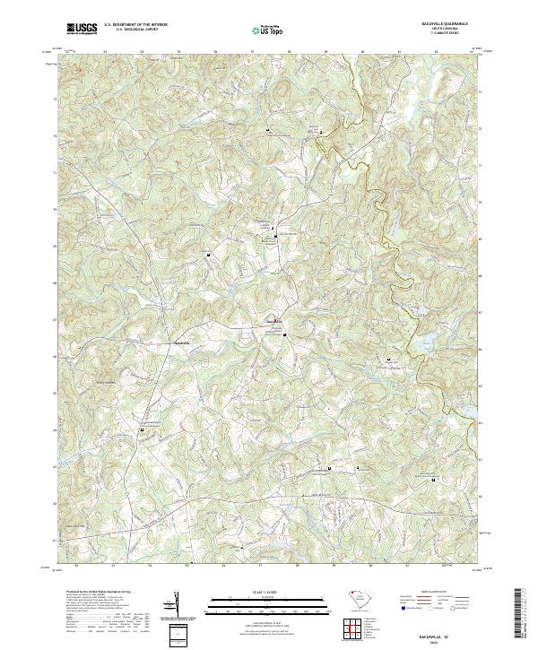
Dacusville and the nearby settlement of Hendricks anchor this portion of the Piedmont, where the landscape is defined by the convergence of the North Saluda River and South Saluda River at the boundary of Pickens and Greenville counties. The terrain is marked by significant rises such as Hickory Nut Mtn and Cedar Rock Mtn, while the river valleys are dotted with several small water bodies, including Belue Lake and Pace Pond.
Find a feature on this map
184 named features on this map. Tap any name to fly to it.
Don’t see what you’re looking for? This feature index may not catch every label — zoom into the map to look around manually.
Map Details
Date Portrayed2024
Date Published2024
PublisherU.S. Geological Survey
Map TypeTopographic
Scale1:24000
Physical Dimensions24 x 29 inches
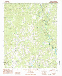
Editions of this 2024 Dacusville Map
This is the sole edition of this map. No revisions or reprints were ever made.
Historical Maps of Dacusville Through Time
Featured Locations
Source Details
SourceU.S. Geological Survey
CopyrightPublic Domain