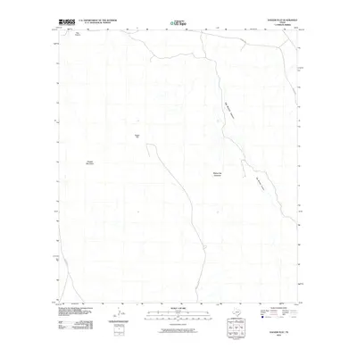
2010 Map of Dagger Flat
USGS Topo · Published 2010About this map
Sierra Del Carmen dominates the southern landscape of this West Texas terrain, where the arid environment is defined by dramatic shifts in elevation and intermittent drainage. Dagger Flat occupies the central portion of the quadrangle, flanked to the west by the prominent heights of Dagger Mountain. The geography is shaped by deep drainage systems like Big Brushy Canyon and Dog Canyon, which reveal the erosive forces at work in this part of Brewster County. Human activity is sparse and primarily confined to the network of roads, including FM 2627 Hwy and Dagger Flat Rd. This 2010 survey reflects a landscape of significant topographical relief, where the few named features serve as critical navigational markers in an otherwise open desert expanse.
Find a feature on this map
8 named features on this map. Tap any name to fly to it.
Don’t see what you’re looking for? This feature index may not catch every label — zoom into the map to look around manually.
Map Details
Editions of this 2010 Dagger Flat Map
This is the sole edition of this map. No revisions or reprints were ever made.
Other maps of this area

1903 · Chisos Mountains
USGS Topo · 1:125,000

1905 · Chisos Mountains
USGS Topo · 1:125,000

1917 · Bone Spring
USGS Topo · 1:62,500

1918 · Bone Spring
USGS Topo · 1:125,000

1918 · Bone Spring
USGS Topo · 1:62,500

1919 · Maravillas Canyon
USGS Topo · 1:62,500

1920 · Bone Spring
USGS Topo · 1:62,500

1930 · Stillwell Creek
USGS Topo · 1:62,500

1959 · Emory Peak
USGS Topo · 1:250,000

1965 · Emory Peak
USGS Topo · 1:250,000