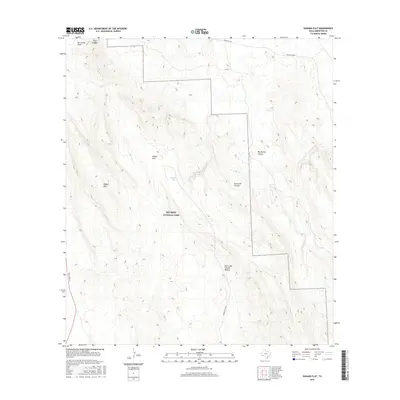
2016 Map of Dagger Flat
USGS Topo · Published 2016About this map
Big Bend National Park dominates this desert landscape in Brewster County, where the stark topography of the Chihuahuan Desert is defined by high ridges and deep drainages. The Sierra del Carmen and Sierra del Caballo Muerto ranges flank the central expanse, leading down into the broad basin of Dagger Flat. This 2016 survey documents the remote road network essential for navigating this environment, including the Main Park Rd and the unpaved Dagger Flat Rd which provides access to the interior. Water sources, vital for survival and early ranching, are few but noted, such as Dagger Tank and the seasonal flows of Nine Point Draw and Dog Canyon. The map reveals the intricate network of canyons, like Big Brushy Canyon, that cut through the limestone mountains, offering a clear record of the area's geological and wilderness character.
Find a feature on this map
12 named features on this map. Tap any name to fly to it.
Don’t see what you’re looking for? This feature index may not catch every label — zoom into the map to look around manually.
Map Details
Editions of this 2016 Dagger Flat Map
This is the sole edition of this map. No revisions or reprints were ever made.
Other maps of this area

1903 · Chisos Mountains
USGS Topo · 1:125,000

1905 · Chisos Mountains
USGS Topo · 1:125,000

1917 · Bone Spring
USGS Topo · 1:62,500

1918 · Bone Spring
USGS Topo · 1:125,000

1918 · Bone Spring
USGS Topo · 1:62,500

1919 · Maravillas Canyon
USGS Topo · 1:62,500

1920 · Bone Spring
USGS Topo · 1:62,500

1930 · Stillwell Creek
USGS Topo · 1:62,500

1959 · Emory Peak
USGS Topo · 1:250,000

1965 · Emory Peak
USGS Topo · 1:250,000