Loading...
Loading map...2024 Map of Daleville
USGS Topo · Published 2024About this map
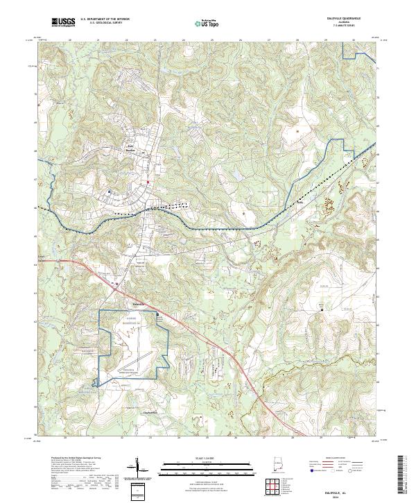
Military aviation and rural Alabama landscapes converge near Daleville, where the extensive footprint of Fort Rucker Al and the Cairns Army Airfield dominates the terrain. This modern survey illustrates the complex infrastructure of the airfield and surrounding base, juxtaposed against the meandering course of the Choctawhatchee River and its many tributaries, such as Brooking Mill Creek and Claybank Creek.
Find a feature on this map
117 named features on this map. Tap any name to fly to it.
Don’t see what you’re looking for? This feature index may not catch every label — zoom into the map to look around manually.
Map Details
Date Portrayed2024
Date Published2024
PublisherU.S. Geological Survey
Map TypeTopographic
Scale1:24000
Physical Dimensions24 x 29 inches
Editions of this 2024 Daleville Map
This is the sole edition of this map. No revisions or reprints were ever made.
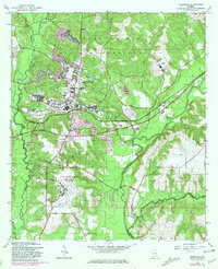
Historical Maps of Bowden Terrace Through Time
Featured Locations
Source Details
SourceU.S. Geological Survey
CopyrightPublic Domain