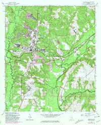
1960 Map of Daleville
USGS Topo · Published 1981About this map
Fort Rucker dominates the landscape of this 1960 survey, updated in the early 1980s, revealing the intersection of massive military infrastructure and traditional wiregrass settlements. The Fort Rucker Military Reservation occupies the northern half of the quadrangle, featuring specialized aviation landmarks like Hanchey Heliport, Lowe Airfield, and Cairns Army Airfield. The civilian economy centers on Daleville, which grew significantly to support the neighboring base. Outside the military gates, the landscape follows the winding path of the Choctawhatchee River and its tributaries, including Claybank Creek and Brooking Mill Creek. Rural life is anchored by landmarks like Bethel Ch and Moores Chapel, while the Seaboard Coast Line provides a primary rail link through the river valley. The map shows a region shaped by mid-century defense expansion, contrasting established crossroads like Level Plains and Five Points against the rapid development of trailer parks and flight facilities.
Find a feature on this map
32 named features on this map. Tap any name to fly to it.
Don’t see what you’re looking for? This feature index may not catch every label — zoom into the map to look around manually.
Map Details
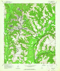
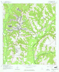
Editions of this 1960 Daleville Map
Other maps of this area

1942 · Enterprise
USGS Topo · 1:125,000

1948 · Ozark
USGS Topo · 1:62,500

1950 · Ozark
USGS Topo · 1:62,500

1950 · Enterprise
USGS Topo · 1:62,500

1953 · Dothan
USGS Topo · 1:250,000

1954 · Dothan
USGS Topo · 1:250,000

1955 · Dothan
USGS Topo · 1:250,000

1957 · Malvern
USGS Topo · 1:24,000

1957 · Geneva
USGS Topo · 1:62,500

1957 · Hartford
USGS Topo · 1:62,500