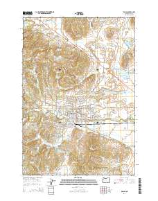
2014 Map of Dallas
USGS Topo · Published 2014About this map
Dallas serves as the primary hub of this landscape, situated where the foothills of the Coast Range begin their descent toward the Willamette Valley. The geography is defined by a dense network of private irrigation and water storage, evidenced by dozens of small reservoirs such as Hoekstre Reservoir, Aebi Reservoir, and Schierling Reservoir. These water features, alongside Hoekstre Slough and Rickreall Creek, illustrate a highly managed agricultural environment focused on water control for the valley's farms.
Find a feature on this map
154 named features on this map. Tap any name to fly to it.
Don’t see what you’re looking for? This feature index may not catch every label — zoom into the map to look around manually.
Map Details
Editions of this 2014 Dallas Map
This is the sole edition of this map. No revisions or reprints were ever made.
Other maps of this area

1914 · Independence
USGS Topo · 1:31,680

1915 · Rickreall
USGS Topo · 1:31,680

1917 · Salem
USGS Topo · 1:62,500

1922 · Airlie
USGS Topo · 1:31,680

1924 · Mc Minnville
USGS Topo · 1:48,000

1926 · Mc Minnville
USGS Topo · 1:62,500

1940 · McMinnville
USGS Topo · 1:62,500

1940 · Salem
USGS Topo · 1:62,500

1942 · Sheridan
USGS Topo · 1:62,500

1942 · Dallas
USGS Topo · 1:62,500