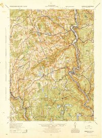
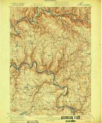
1944 Map of Damascus
USGS Topo · Published 1944About this map
The Delaware River forms a serpentine border between Pennsylvania and New York, serving as the central artery for this 1944 Army Map Service compilation. The landscape is defined by the winding Erie Railroad and a series of river-adjacent communities like Milanville and Narrowsburg. Industrial history is anchored by an Oil Pumping Station and the Smith Switch landmark, while rural life is reflected in the dense network of country schools, including the curiously named Nobody Station Sch and Rose Hill Sch.
Find a feature on this map
95 named features on this map. Tap any name to fly to it.
Don’t see what you’re looking for? This feature index may not catch every label — zoom into the map to look around manually.
Map Details
Editions of this 1944 Damascus Map
This is the sole edition of this map. No revisions or reprints were ever made.
Other maps of this area

1892 · Honesdale
USGS Topo · 1:62,500
1913 · Milford
USGS Topo · 1:62,500
1915 · Milford
USGS Topo · 1:62,500
1920 · Long Eddy
USGS Topo · 1:62,500

1920 · Damascus
USGS Topo · 1:62,500
1921 · Long Eddy
USGS Topo · 1:48,000
1921 · Livingston Manor
USGS Topo · 1:62,500
1922 · White Lake
USGS Topo · 1:62,500
1923 · Damascus
USGS Topo · 1:62,500
1923 · Long Eddy
USGS Topo · 1:62,500