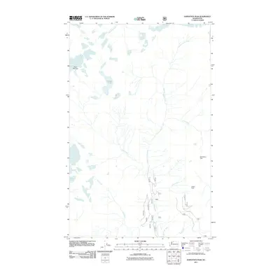
2011 Map of Damnation Peak
USGS Topo · Published 2011About this map
Damnation Peak and Hagan Mountain dominate this high-elevation landscape in Whatcom County, where a complex network of glacial drainage feeds into the Bacon Creek system. The terrain is defined by steep ridges and isolated alpine water bodies like Berdeen Lake and the high-altitude Blum Lakes near the northern boundary. While human settlement is absent, the map reveals a system of forest service access points, including the terminal reaches of forest roads 1060 and 1062.
Find a feature on this map
23 named features on this map. Tap any name to fly to it.
Don’t see what you’re looking for? This feature index may not catch every label — zoom into the map to look around manually.
Map Details
Editions of this 2011 Damnation Peak Map
This is the sole edition of this map. No revisions or reprints were ever made.
Other maps of this area

1909 · Mt Baker
USGS Topo · 1:192,000

1915 · Mt. Baker
USGS Topo · 1:250,000

1952 · Lake Shannon
USGS Topo · 1:62,500

1953 · Mt Shuksan
USGS Topo · 1:62,500

1953 · Marblemount
USGS Topo · 1:62,500

1953 · Mt Challenger
USGS Topo · 1:62,500

1955 · Concrete
USGS Topo · 1:250,000

1958 · Concrete
USGS Topo · 1:250,000

1962 · Concrete
USGS Topo · 1:250,000

1979 · Mt. Baker
USGS Topo · 1:100,000