Loading...
Loading map...2024 Map of Danielsville South
USGS Topo · Published 2024About this map
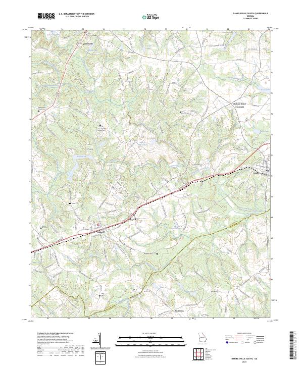
Danielsville and Colbert anchor this landscape along the border of Madison and Oglethorpe counties. The terrain is defined by a dense network of waterways, including the South Fork Broad River and its many tributaries like Brush Creek and Mill Shoal Creek. The settlement pattern reflects the area's agricultural and rural history, with numerous family-named landmarks and local burial grounds such as Kidd Family Cem, Sorrow-Mann Cem, and Thompson Cem.
Find a feature on this map
161 named features on this map. Tap any name to fly to it.
Don’t see what you’re looking for? This feature index may not catch every label — zoom into the map to look around manually.
Map Details
Date Portrayed2024
Date Published2024
PublisherU.S. Geological Survey
Map TypeTopographic
Scale1:24000
Physical Dimensions24 x 29 inches
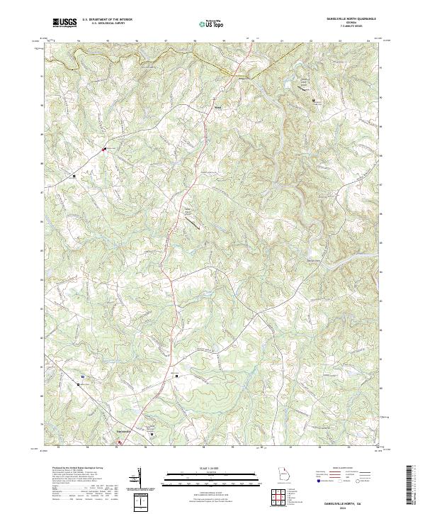
Editions of this 2024 Danielsville South Map
This is the sole edition of this map. No revisions or reprints were ever made.
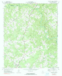
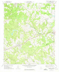
Historical Maps of Patterson Through Time
4 maps found
Featured Locations
Source Details
SourceU.S. Geological Survey
CopyrightPublic Domain