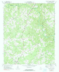
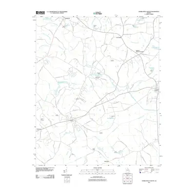
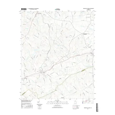
1972 Map of Danielsville North
USGS Topo · Published 1991About this map
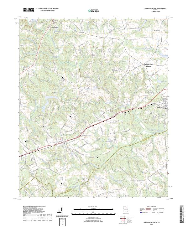
Danielsville anchors the southern portion of this landscape where the Hudson River and Broad River shape the terrain of the Madison and Franklin county line. The rural character of the early 1970s is evident in the dense network of small community landmarks, particularly the numerous country churches such as Salem Ch, Macedonia Ch, and Jones Chapel that served as local hubs. Waterways like Nails Cr and Shiloh Creek feed into the larger river systems, while the presence of Masons Mill Creek suggests an earlier era of water-powered industry. The map captures a moment of transition, showing established settlements like Harrison and Bond alongside modern infrastructure like a Radio Tower and an extensive pipeline corridor crossing the southern ridges near Scull Shoal Creek.
Find a feature on this map
36 named features on this map. Tap any name to fly to it.
Don’t see what you’re looking for? This feature index may not catch every label — zoom into the map to look around manually.
Map Details
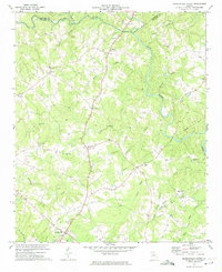
Editions of this 1972 Danielsville North Map
2 editions found
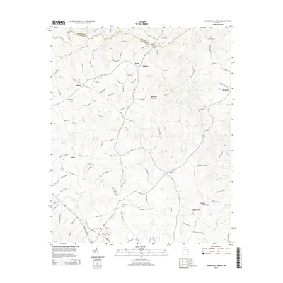
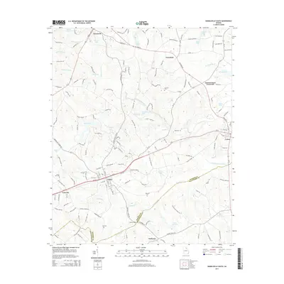
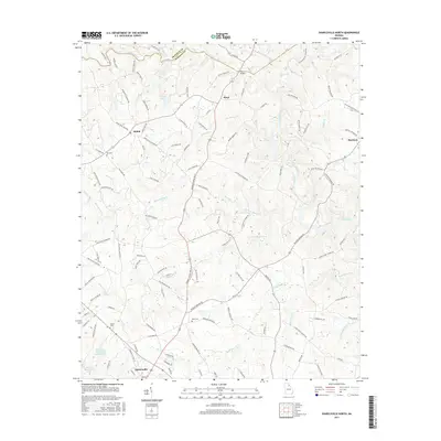
Historical Maps of Danielsville Through Time
12 maps found
1972 Danielsville North
Madison County, GA
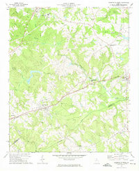
1972 Danielsville South
Madison County, GA
2011 Danielsville North
Madison County, GA
2011 Danielsville South
Madison County, GA
2014 Danielsville North
Madison County, GA
2014 Danielsville South
Madison County, GA
2017 Danielsville North
Madison County, GA
2017 Danielsville South
Madison County, GA
2020 Danielsville North
Madison County, GA
2020 Danielsville South
Madison County, GA
2024 Danielsville North
Madison County, GA
2024 Danielsville South
Madison County, GA