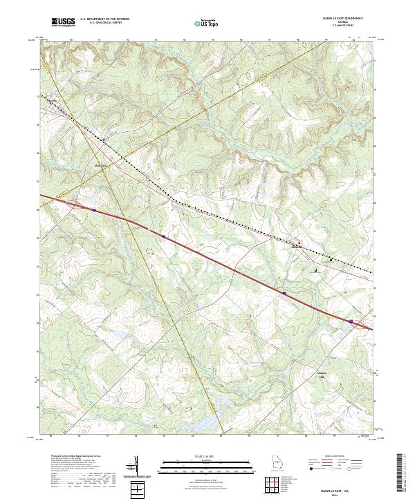
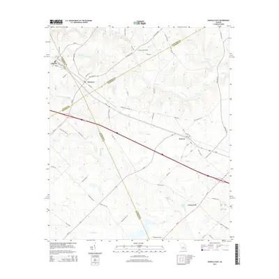
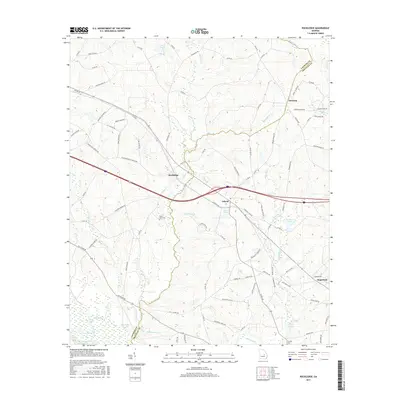
2024 Map of Danville East
USGS Topo · Published 2024About this map
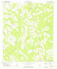
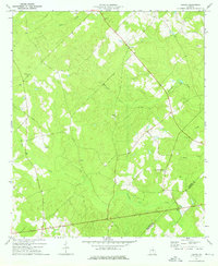
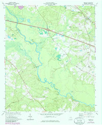
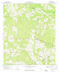
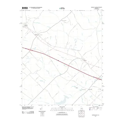
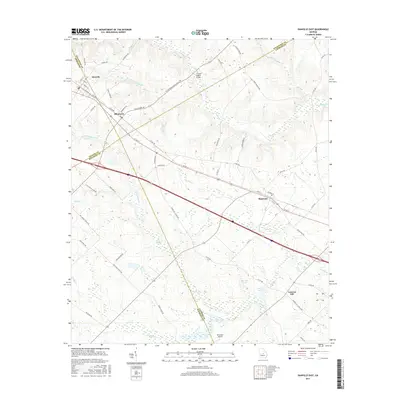
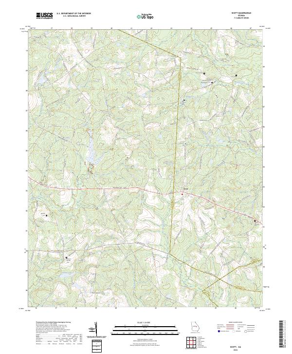
Danville and Allentown anchor the western edge of this central Georgia landscape, where the borders of Wilkinson, Twiggs, Laurens, and Bleckley counties converge. The terrain is defined by a dense network of waterways, including the winding course of Turkey Creek in the north and Rocky Creek further south. These streams have historically shaped the settlement patterns of the region, visible in the placement of communities like Montrose and the rural area of Laurens Hill. Local history is preserved at sites such as Macedonia Cem and Montrose Cem, which stand near the intersections of vital transit routes like Co Rd 19. The map reveals the relationship between the natural drainage of Devils Branch and Bay Branch and the modern road network, providing a clear view of how these small towns and family-named landmarks integrate with the larger agricultural and wooded environment of Laurens County.
Find a feature on this map
68 named features on this map. Tap any name to fly to it.
Don’t see what you’re looking for? This feature index may not catch every label — zoom into the map to look around manually.
Map Details
Editions of this 2024 Danville East Map
This is the sole edition of this map. No revisions or reprints were ever made.
Historical Maps of Danville Through Time
48 maps found
1971 Rockledge
Laurens County, GA
1972 Mc Rae NW
Laurens County, GA
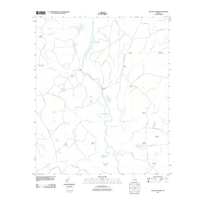
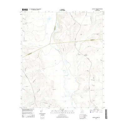
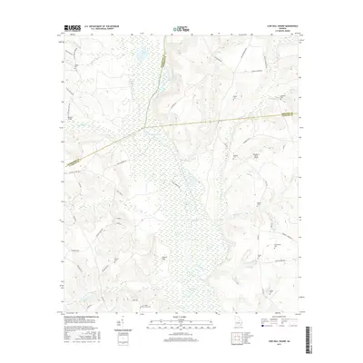
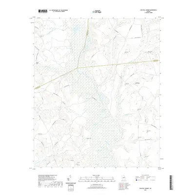
1974 Cow Hell Swamp
Laurens County, GA

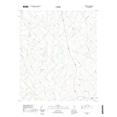
1974 Danville East
Laurens County, GA
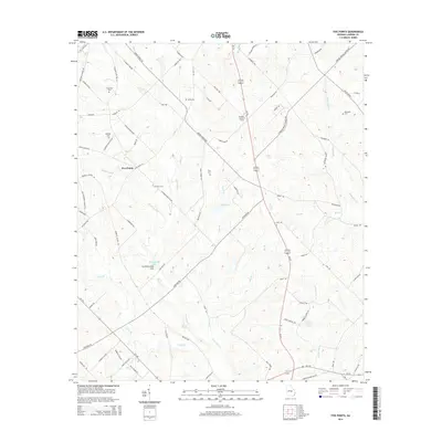
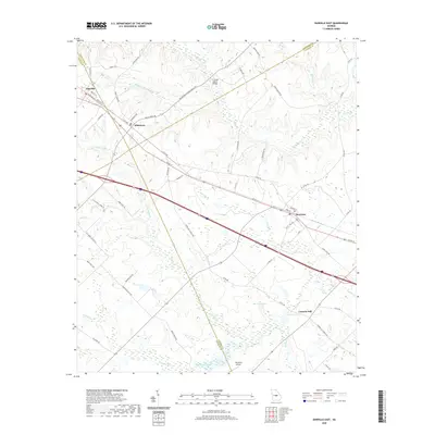
1974 Five Points
Laurens County, GA
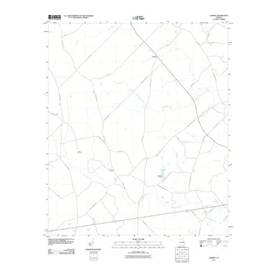
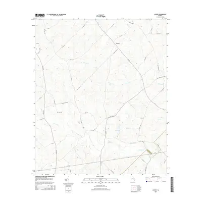
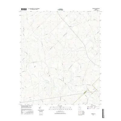
1974 Lowery
Laurens County, GA
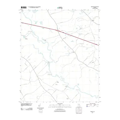
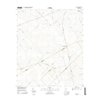
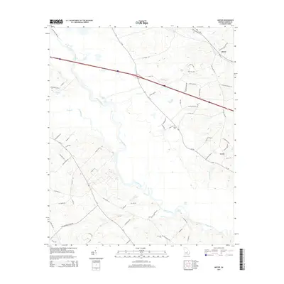
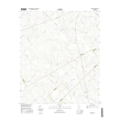
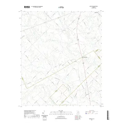
1974 Minter
Laurens County, GA
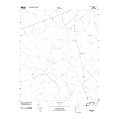
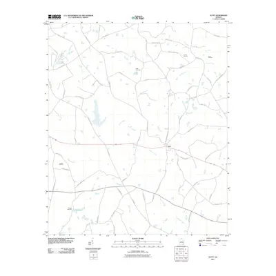
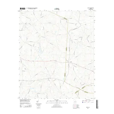
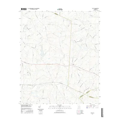
1974 Scott
Laurens County, GA
2011 Cow Hell Swamp
Laurens County, GA
2011 Danville East
Laurens County, GA

2011 Five Points
Laurens County, GA
2011 Lowery
Laurens County, GA
2011 McRae NW
Laurens County, GA
2011 Minter
Laurens County, GA
2011 Rockledge
Laurens County, GA
2011 Scott
Laurens County, GA
2014 Cow Hell Swamp
Laurens County, GA
2014 Danville East
Laurens County, GA
2014 Five Points
Laurens County, GA
2014 Lowery
Laurens County, GA
2014 McRae NW
Laurens County, GA
2014 Minter
Laurens County, GA
2014 Rockledge
Laurens County, GA
2014 Scott
Laurens County, GA
2017 Cow Hell Swamp
Laurens County, GA
2017 Danville East
Laurens County, GA

2017 Five Points
Laurens County, GA
2017 Lowery
Laurens County, GA
2017 McRae NW
Laurens County, GA
2017 Minter
Laurens County, GA
2017 Rockledge
Laurens County, GA
2017 Scott
Laurens County, GA
2020 Cow Hell Swamp
Laurens County, GA
2020 Danville East
Laurens County, GA
2020 Five Points
Laurens County, GA
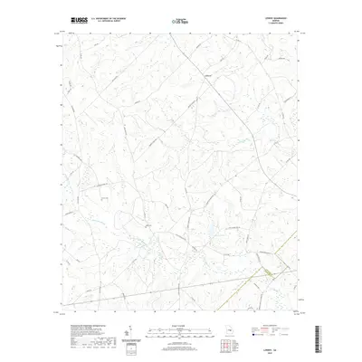
2020 Lowery
Laurens County, GA
2020 McRae NW
Laurens County, GA
2020 Minter
Laurens County, GA
2020 Rockledge
Laurens County, GA
2020 Scott
Laurens County, GA
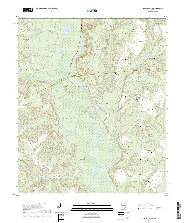
2024 Cow Hell Swamp
Laurens County, GA
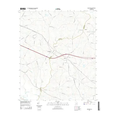
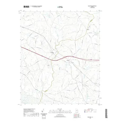
2024 Danville East
Laurens County, GA
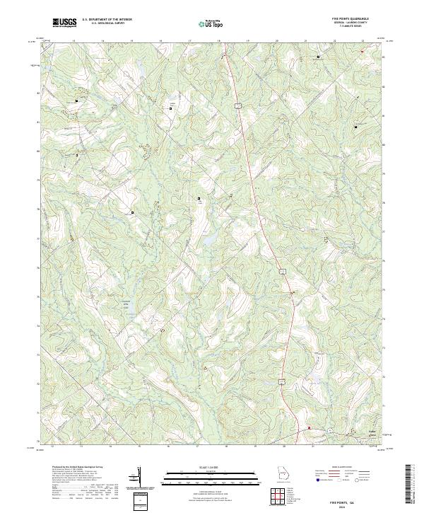
2024 Five Points
Laurens County, GA
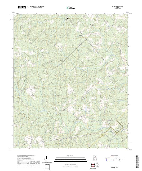
2024 Lowery
Laurens County, GA
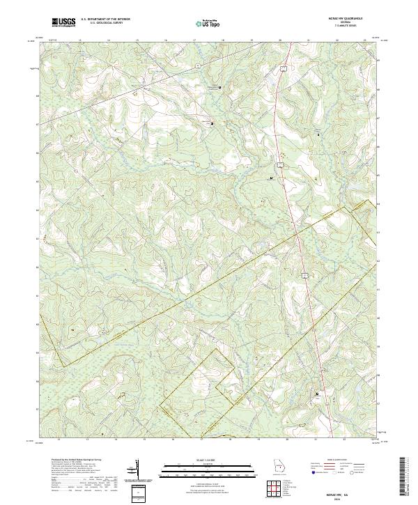
2024 McRae NW
Laurens County, GA
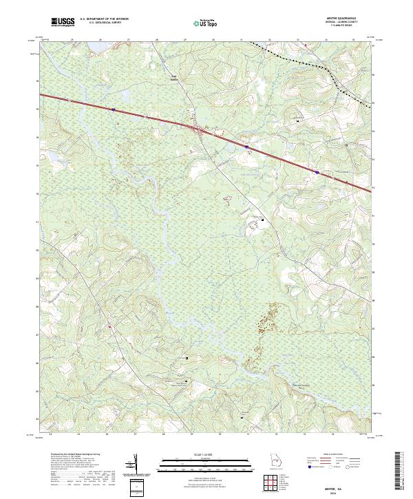
2024 Minter
Laurens County, GA
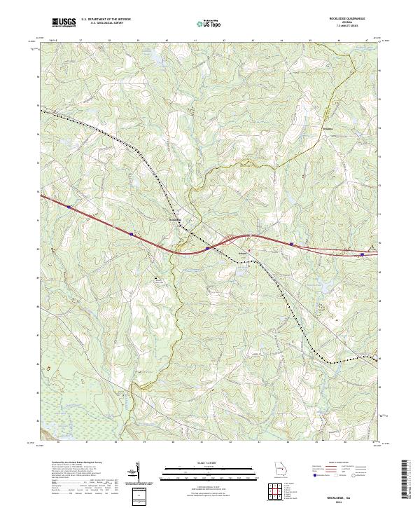
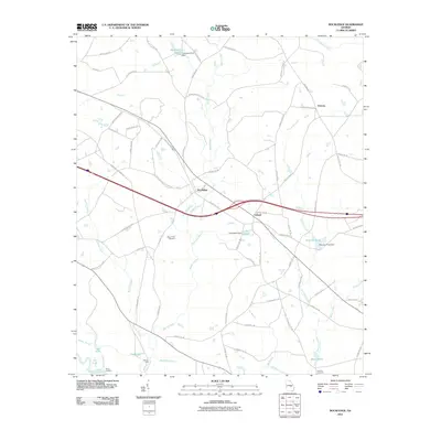
2024 Rockledge
Laurens County, GA
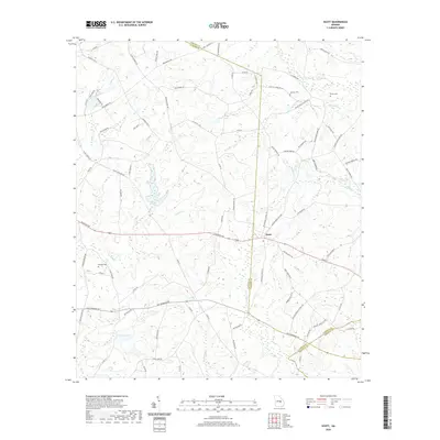
2024 Scott
Laurens County, GA