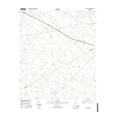
2017 Map of Danville West
USGS Topo · Published 2017About this map
Danville and Cary anchor this 2017 survey of the rural landscape straddling the Twiggs Co Bleckley Co line. The area is defined by a dense network of tributaries including Gum Swamp Cr, Richland Creek, and Little Rocky Cr, which carve through the terrain between low-lying wetland pockets. The map documents several important genealogical sites, such as Aires Meadows Cem, Lizzy Harold Cem, and Mount Zion Cem, located near the local roads that connect these small communities. Small bodies of water like Cason Lake and Land Lake are visible alongside specialized infrastructure like the Danville Airpark. The settlement pattern reflects the persistent agricultural and timber character of this section of Georgia, where family-named roads like Moore Rd and Ball Park Rd link dispersed farmsteads to the regional centers.
Find a feature on this map
88 named features on this map. Tap any name to fly to it.
Don’t see what you’re looking for? This feature index may not catch every label — zoom into the map to look around manually.
Map Details
Editions of this 2017 Danville West Map
This is the sole edition of this map. No revisions or reprints were ever made.
Other maps of this area

1956 · Cochran
USGS Topo · 1:62,500

1956 · Jeffersonville
USGS Topo · 1:62,500

1957 · Macon
USGS Topo · 1:250,000

1958 · Macon
USGS Topo · 1:250,000

1964 · Macon
USGS Topo · 1:250,000

1973 · Tarversville
USGS Topo · 1:24,000
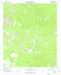
1973 · Marion
USGS Topo · 1:24,000

1974 · Chester
USGS Topo · 1:24,000

1974 · Danville East
USGS Topo · 1:24,000
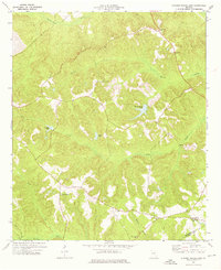
1974 · Stuckey Boone Lake
USGS Topo · 1:24,000