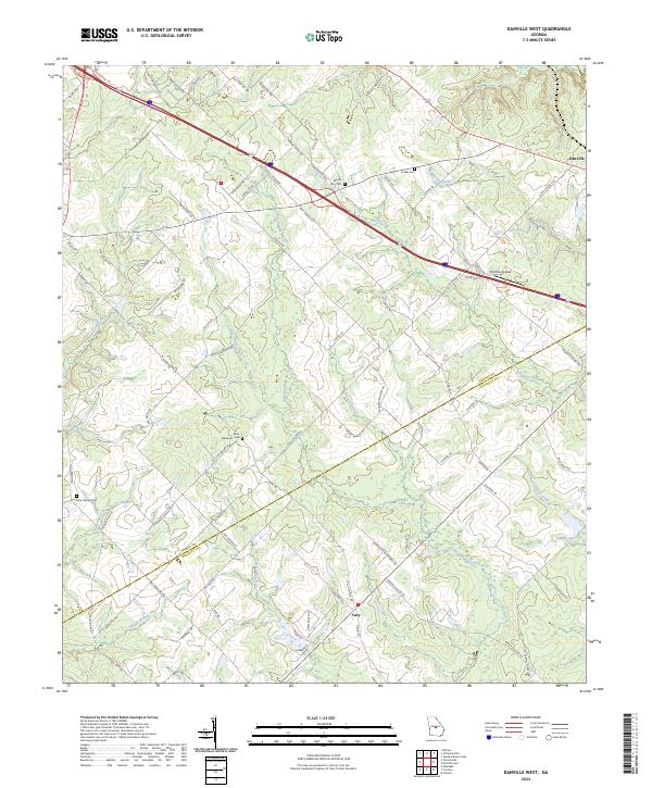
2024 Map of Danville West
USGS Topo · Published 2024About this map
Danville and Cary anchor this Georgia landscape, which is defined by a dense network of watercourses and rural roads along the Twiggs Co Bleckley Co boundary. The terrain is marked by numerous family and community burial sites, including Mount Zion Cem, Fowler Cem, and the Aires - Meadows Cem, which offer significant value for genealogical research in this portion of the state. Central to the area's modern infrastructure is the Danville Airpark, situated near the headwaters of Rocky Creek.
Find a feature on this map
84 named features on this map. Tap any name to fly to it.
Don’t see what you’re looking for? This feature index may not catch every label — zoom into the map to look around manually.
Map Details
Editions of this 2024 Danville West Map
This is the sole edition of this map. No revisions or reprints were ever made.
Historical Maps of Allentown Through Time
10 maps found
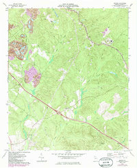
1973 Dry Branch
Twiggs County, GA
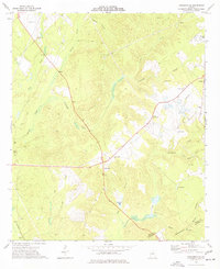
1973 Marion
Twiggs County, GA
1973 Tarversville
Twiggs County, GA
1973 Warner Robins NE
Twiggs County, GA
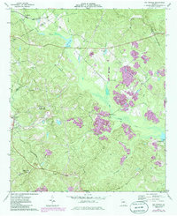
1974 Danville West
Twiggs County, GA
2024 Danville West
Twiggs County, GA
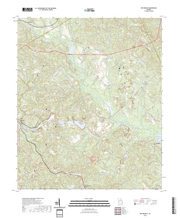
2024 Dry Branch
Twiggs County, GA
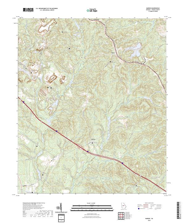
2024 Marion
Twiggs County, GA
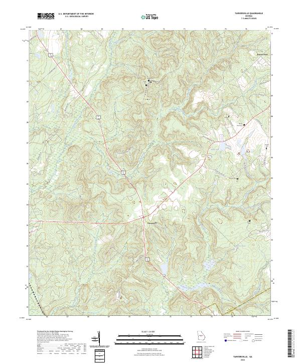
2024 Tarversville
Twiggs County, GA
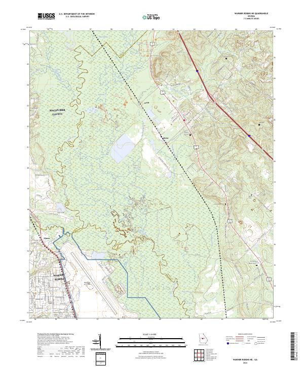
2024 Warner Robins NE
Twiggs County, GA