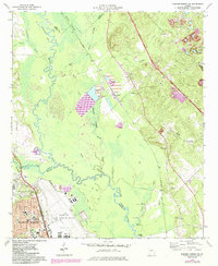
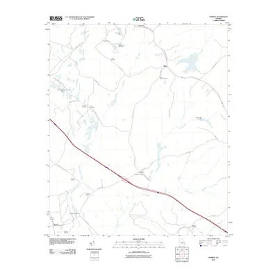
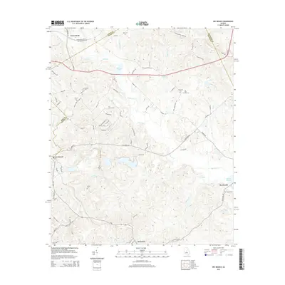
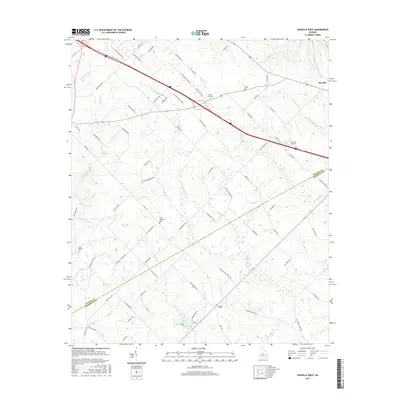
1973 Map of Marion
USGS Topo · Published 1986About this map
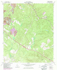
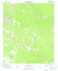
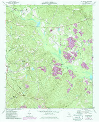
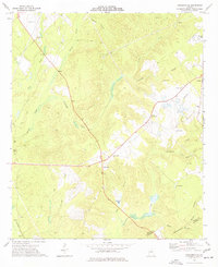
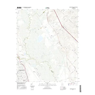
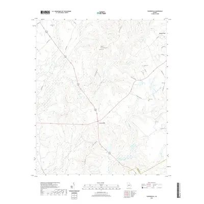
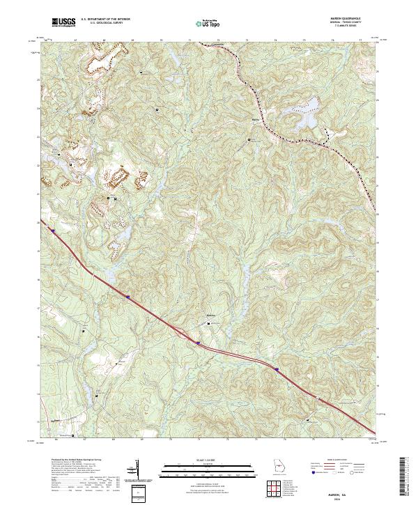
Marion sits at the center of this rural landscape, where industrial activity and family heritage intersect during the early 1970s. The presence of several Claypit sites, particularly in the western portion of the quadrangle, suggests a local economy tied to Georgia’s mineral resources. Transportation is defined by the Seaboard rail line cutting through the northeast, passing through the small settlements of Fitzpatrick and Ripley.
Find a feature on this map
24 named features on this map. Tap any name to fly to it.
Don’t see what you’re looking for? This feature index may not catch every label — zoom into the map to look around manually.
Map Details
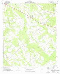
Editions of this 1973 Marion Map
2 editions found
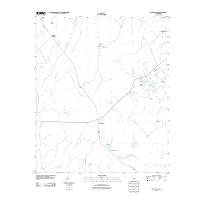
Historical Maps of Fitzpatrick Through Time
30 maps found
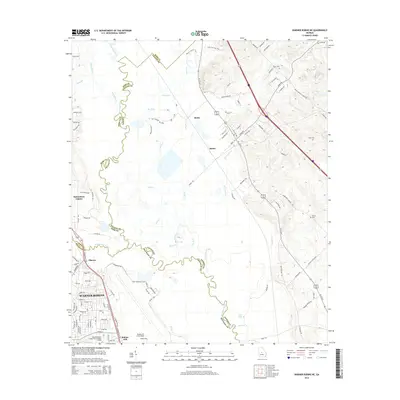
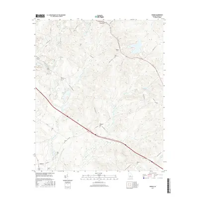
1973 Dry Branch
Twiggs County, GA
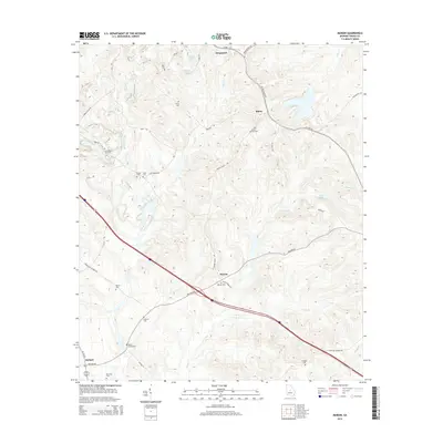
1973 Marion
Twiggs County, GA
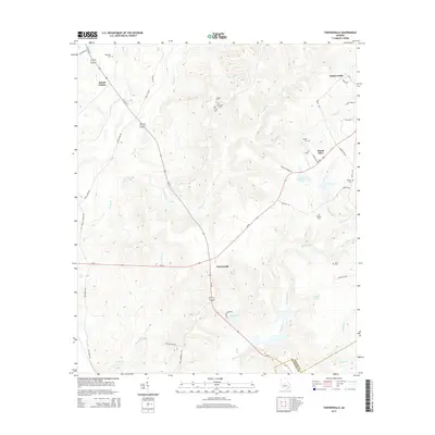
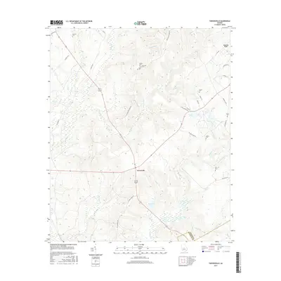
1973 Tarversville
Twiggs County, GA
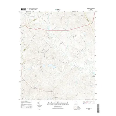
1973 Warner Robins NE
Twiggs County, GA
1974 Danville West
Twiggs County, GA
2011 Danville West
Twiggs County, GA
2011 Dry Branch
Twiggs County, GA
2011 Marion
Twiggs County, GA
2011 Tarversville
Twiggs County, GA
2011 Warner Robins NE
Twiggs County, GA
2014 Danville West
Twiggs County, GA
2014 Dry Branch
Twiggs County, GA
2014 Marion
Twiggs County, GA
2014 Tarversville
Twiggs County, GA
2014 Warner Robins NE
Twiggs County, GA
2017 Danville West
Twiggs County, GA
2017 Dry Branch
Twiggs County, GA
2017 Marion
Twiggs County, GA
2017 Tarversville
Twiggs County, GA
2017 Warner Robins NE
Twiggs County, GA
2020 Danville West
Twiggs County, GA
2020 Dry Branch
Twiggs County, GA
2020 Marion
Twiggs County, GA
2020 Tarversville
Twiggs County, GA
2020 Warner Robins NE
Twiggs County, GA
2024 Danville West
Twiggs County, GA
2024 Dry Branch
Twiggs County, GA
2024 Marion
Twiggs County, GA
2024 Tarversville
Twiggs County, GA
2024 Warner Robins NE
Twiggs County, GA