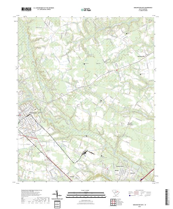
2024 Map of Darlington East
USGS Topo · Published 2024About this map
The Darlington County Courthouse serves as the focal point for this eastern portion of the county seat, where the urban grid of Darlington gives way to a complex system of hydraulic features. To the north and east, the landscape is defined by the winding course of Black Creek, which is fed by numerous tributaries including Swift Creek, Bellyache Creek, and Hurricane Branch. These waterways carve through the terrain, creating low-lying areas like Hasker Flat and the expansive Back Swamp.
Find a feature on this map
160 named features on this map. Tap any name to fly to it.
Don’t see what you’re looking for? This feature index may not catch every label — zoom into the map to look around manually.
Map Details
Editions of this 2024 Darlington East Map
This is the sole edition of this map. No revisions or reprints were ever made.
Historical Maps of Pine Village Through Time
12 maps found
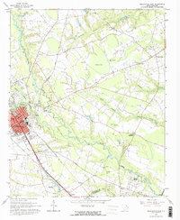
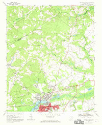
1963 Darlington East
Darlington County, SC
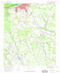
1963 Darlington West
Darlington County, SC
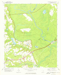
1963 Mont Clare
Darlington County, SC
1968 Hartsville North
Darlington County, SC
1968 Hartsville South
Darlington County, SC
1972 Witherspoon Island
Darlington County, SC
2024 Darlington East
Darlington County, SC
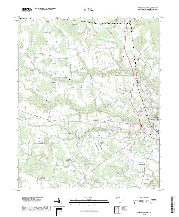
2024 Darlington West
Darlington County, SC
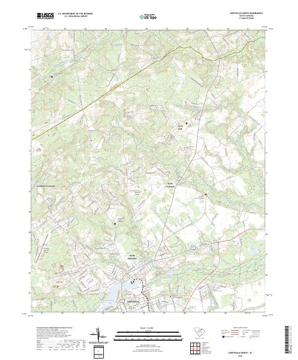
2024 Hartsville North
Darlington County, SC
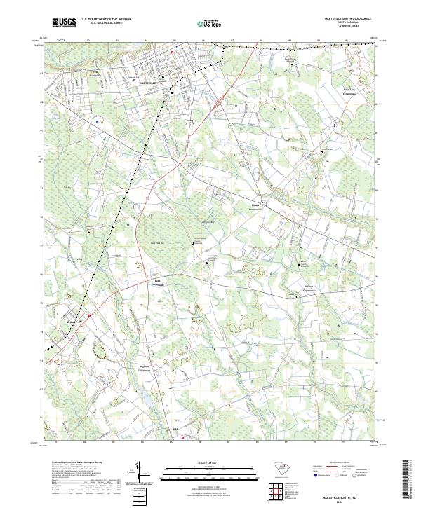
2024 Hartsville South
Darlington County, SC
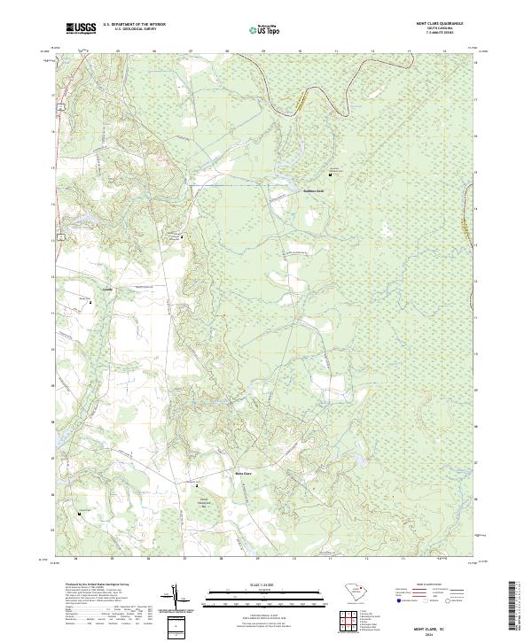
2024 Mont Clare
Darlington County, SC
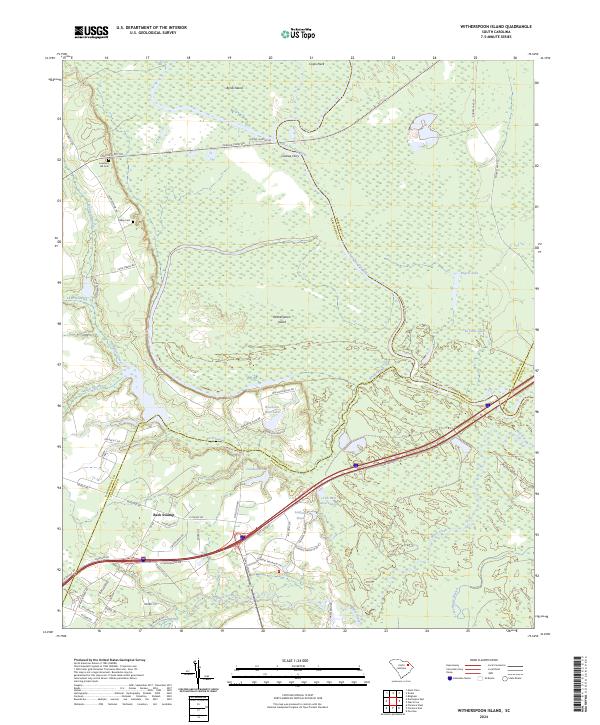
2024 Witherspoon Island
Darlington County, SC