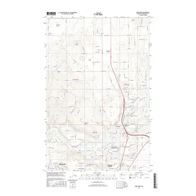
2017 Map of Dartford
USGS Topo · Published 2017About this map
Wild Rose Prairie and Half Moon Prairie define the northern agricultural character of this landscape, where the plateaus are dotted with local landmarks like Wild Rose Cem and Wayside Cem. The terrain transitions into the more developed corridors of the Little Spokane River valley, where the small settlement of Dartford sits near the historic crossing at the Little Spokane Drive Bridge. To the south, the suburban growth of Spokane reaches upward into Country Homes and Fairwood, encircling the campus of Whitworth Univ. Geologic prominence is visible in the series of named elevations such as Pease Hill, McKay Hill, and Lockhart Hill, while Pete's Airport provides a point of interest for those tracking local aviation history. The map also captures the natural hydrology of Waikiki Springs and Griffith Spring along the river's path.
Find a feature on this map
95 named features on this map. Tap any name to fly to it.
Don’t see what you’re looking for? This feature index may not catch every label — zoom into the map to look around manually.
Map Details
Editions of this 2017 Dartford Map
This is the sole edition of this map. No revisions or reprints were ever made.
Other maps of this area

1901 · Spokane
USGS Topo · 1:125,000

1943 · Medical Lake
USGS Topo · 1:62,500

1944 · Clayton
USGS Topo · 1:62,500

1949 · Deer Park
USGS Topo · 1:62,500

1950 · Spokane NE
USGS Topo · 1:24,000

1950 · Spokane NW
USGS Topo · 1:24,000

1950 · Spokane
USGS Topo · 1:62,500

1950 · Clayton
USGS Topo · 1:62,500

1951 · Deer Park
USGS Topo · 1:62,500

1954 · Airway Heights
USGS Topo · 1:24,000