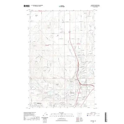
2020 Map of Dartford
USGS Topo · Published 2020About this map
Spokane and its northern suburbs are captured in this 2020 landscape, where the rising plateaus of Fivemile Prairie and Half Moon Prairie overlook the meandering Little Spokane River. The area shows a transition from the dense residential grid of Fairwood and the Whitworth University campus to more open rural terrain characterized by basalt hills and isolated prairies. The small settlement of Dartford serves as a central landmark, situated near the Little Spokane Drive Bridge and the Dartford Cem.
Find a feature on this map
131 named features on this map. Tap any name to fly to it.
Don’t see what you’re looking for? This feature index may not catch every label — zoom into the map to look around manually.
Map Details
Editions of this 2020 Dartford Map
This is the sole edition of this map. No revisions or reprints were ever made.
Other maps of this area

1901 · Spokane
USGS Topo · 1:125,000

1943 · Medical Lake
USGS Topo · 1:62,500

1944 · Clayton
USGS Topo · 1:62,500

1949 · Deer Park
USGS Topo · 1:62,500

1950 · Spokane NE
USGS Topo · 1:24,000

1950 · Spokane NW
USGS Topo · 1:24,000

1950 · Spokane
USGS Topo · 1:62,500

1950 · Clayton
USGS Topo · 1:62,500

1951 · Deer Park
USGS Topo · 1:62,500

1954 · Airway Heights
USGS Topo · 1:24,000