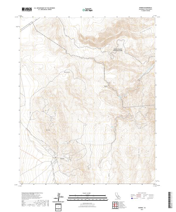
2021 Map of Darwin
USGS Topo · Published 2021About this map
Darwin sits at the heart of this high-desert landscape in Inyo County, situated between the Darwin Hills and the massive Argus Range. The community, accessed via Olancha Darwin Rd and N Main St, is a rare point of habitation in an area defined by steep topographic relief and seasonal water sources like China Garden Spring and Millers Spring. To the north, the terrain transitions into the protected expanse of Death Valley National Park, where dramatic geological features such as Rainbow Canyon and Darwin Canyon cut through the volcanic and sedimentary layers of the Darwin Plateau. A portion of the Mojave Desert extends into the western reaches of the quadrangle, where the land rises toward the summit of Ophir Mtn. The network of unimproved roads and the Darwin Falls Trl reflect a remote landscape where travel is dictated by the deeply incised washes and canyons.
Find a feature on this map
23 named features on this map. Tap any name to fly to it.
Don’t see what you’re looking for? This feature index may not catch every label — zoom into the map to look around manually.
Map Details
Editions of this 2021 Darwin Map
This is the sole edition of this map. No revisions or reprints were ever made.
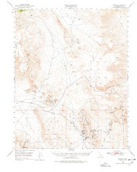
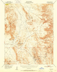
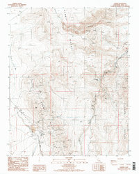
Historical Maps of Darwin Through Time
4 maps found