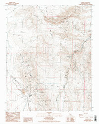
1987 Map of Darwin
USGS Topo · Published 1987About this map
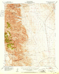
The high desert landscape of the Darwin Plateau is defined by a deep history of extraction and survival in the shadow of the Argus Range. Centered on the settlement of Darwin, this 1980s-era survey documents the complex mining infrastructure of the Darwin Mines, where numerous prospects, mine dumps, and tailings scars point to decades of mineral pursuit. The map reveals the essential role of water in this arid environment, showing an Underground Aqueduct and several remote water sources like China Garden Spring and Millers Spring. Cultural features are densely clustered near the townsite, including a Post Office, a local Cem, and a remote Landing Strip. To the east, the terrain drops dramatically toward Darwin Falls, while the northern portion of the quadrangle includes the famous Father Crowley Viewpoint overlooking Rainbow Canyon.
Find a feature on this map
28 named features on this map. Tap any name to fly to it.
Don’t see what you’re looking for? This feature index may not catch every label — zoom into the map to look around manually.
Map Details
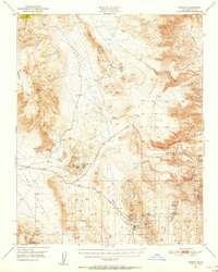
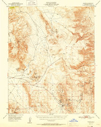
Editions of this 1987 Darwin Map
2 editions found

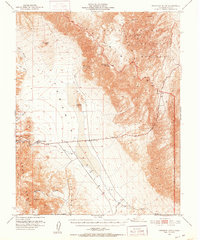
Other maps of this area

1908 · Ballarat
USGS Topo · 1:250,000

1913 · Ballarat
USGS Topo · 1:250,000

1948 · Death Valley
USGS Topo · 1:250,000
1950 · Darwin
USGS Topo · 1:62,500
1951 · Darwin
USGS Topo · 1:62,500
1951 · Panamint Butte
USGS Topo · 1:62,500
1951 · Maturango Peak
USGS Topo · 1:62,500
1951 · Coso Peak
USGS Topo · 1:62,500

1954 · Death Valley
USGS Topo · 1:250,000

1956 · Death Valley
USGS Topo · 1:250,000