
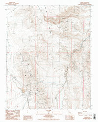
1987 Map of Darwin
USGS Topo · Published 1987About this map
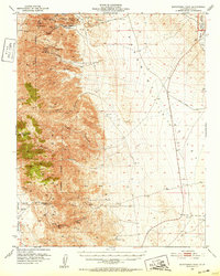
The high-desert mining settlement of Darwin is documented here as it appeared in the late 1980s, revealing a landscape defined by its industrial extraction and isolation. Situated between the Darwin Hills and the Argus Range, the town center is marked by its Post Office and a nearby Cem, while a Landing Strip and Sanitary Disposal Site underscore the logistical needs of this remote outpost.
Find a feature on this map
31 named features on this map. Tap any name to fly to it.
Don’t see what you’re looking for? This feature index may not catch every label — zoom into the map to look around manually.
Map Details
Editions of this 1987 Darwin Map
2 editions found
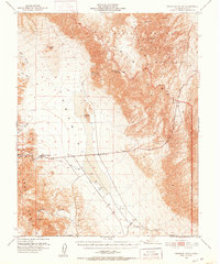
Other maps of this area

1908 · Ballarat
USGS Topo · 1:250,000

1913 · Ballarat
USGS Topo · 1:250,000

1948 · Death Valley
USGS Topo · 1:250,000
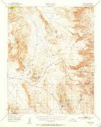
1950 · Darwin
USGS Topo · 1:62,500
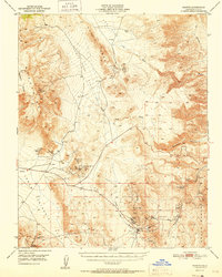
1951 · Darwin
USGS Topo · 1:62,500
1951 · Panamint Butte
USGS Topo · 1:62,500
1951 · Maturango Peak
USGS Topo · 1:62,500
1951 · Coso Peak
USGS Topo · 1:62,500

1954 · Death Valley
USGS Topo · 1:250,000

1956 · Death Valley
USGS Topo · 1:250,000