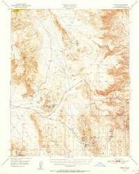
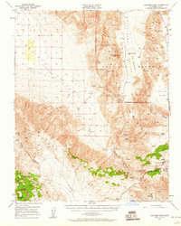
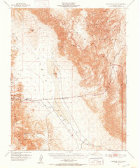
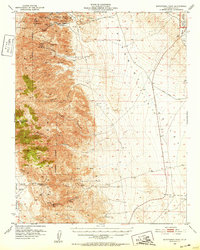
1950 Map of Darwin
USGS Topo · Published 1956About this map
Darwin stands as a central mining hub in the High Desert, surrounded by an extensive network of mineral claims and industrial infrastructure. The settlement is anchored by the Darwin Mines and the local Darwin Hosp, with a dedicated Air Strip and Lane Mill reflecting the active production of the mid-20th century. To the west, the landscape transitions into the high elevations of the Inyo Mountains and Malpais Mesa, where numerous operations including the Santa Rosa Mines and the inactive White Swan Mine underscore the area's geological importance.
Find a feature on this map
37 named features on this map. Tap any name to fly to it.
Don’t see what you’re looking for? This feature index may not catch every label — zoom into the map to look around manually.
Map Details
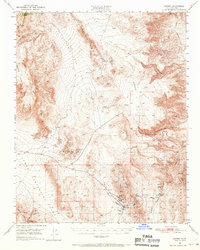
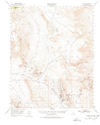
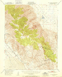
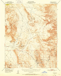
Editions of this 1950 Darwin Map
3 editions found
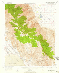
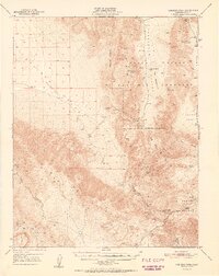
Other maps of this area

1908 · Ballarat
USGS Topo · 1:250,000

1913 · Ballarat
USGS Topo · 1:250,000

1948 · Death Valley
USGS Topo · 1:250,000
1950 · New York Butte
USGS Topo · 1:62,500
1950 · Ubehebe Peak
USGS Topo · 1:62,500
1951 · New York Butte
USGS Topo · 1:62,500
1951 · Darwin
USGS Topo · 1:62,500
1951 · Ubehebe Peak
USGS Topo · 1:62,500
1951 · Panamint Butte
USGS Topo · 1:62,500
1951 · Maturango Peak
USGS Topo · 1:62,500