
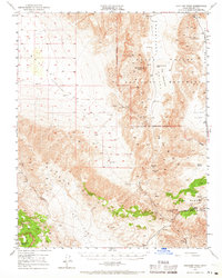
1950 Map of Ubehebe Peak
USGS Topo · Published 1960About this map
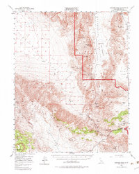
Ubehebe Mine and a network of high-altitude claims define this mid-century survey of the California desert. The landscape is dominated by extreme topographical shifts, from the Saline Valley (Depression) in the west to the flat expanse of The Racetrack, where the geological feature known as The Grandstand rises from the valley floor. The map records a transition in land use within the Death Valley National Monument, documenting the persistence of mining operations like the Lippincott Lead Mine and the Sally Ann Mine alongside the early establishment of monument boundaries.
Find a feature on this map
32 named features on this map. Tap any name to fly to it.
Don’t see what you’re looking for? This feature index may not catch every label — zoom into the map to look around manually.
Map Details
Editions of this 1950 Ubehebe Peak Map
3 editions found
Other maps of this area

1908 · Ballarat
USGS Topo · 1:250,000

1913 · Ballarat
USGS Topo · 1:250,000

1948 · Death Valley
USGS Topo · 1:250,000

1950 · Darwin
USGS Topo · 1:62,500

1950 · New York Butte
USGS Topo · 1:62,500

1951 · New York Butte
USGS Topo · 1:62,500

1951 · Darwin
USGS Topo · 1:62,500

1951 · Ubehebe Peak
USGS Topo · 1:62,500

1951 · Panamint Butte
USGS Topo · 1:62,500

1951 · Marble Canyon
USGS Topo · 1:62,500