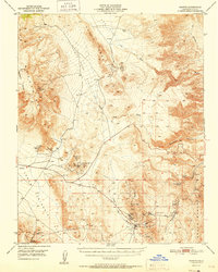
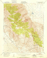
1951 Map of Darwin
USGS Topo · Published 1951About this map
Mining operations for lead, silver, and talc define the landscape of Inyo County at the start of the 1950s. The settlement of Darwin serves as the focal point for regional industry, situated near the extensive Darwin Mines and a local Air Strip. The map detail reveals the infrastructure required for high-desert extraction, including a Pipe Line and various Water Tanks essential for operations like the Sierra Talc Mine. To the north, the Santa Rosa Mountains and Santa Rosa Flat give way to isolated outposts such as Wilson Ranch. Topography here is dominated by deep washes and steep ranges, including the Argus Range and Coso Range. Natural water sources, while scarce, are marked by landmarks like Darwin Falls and China Garden Spring, providing a sharp contrast to the industrial waste noted at the Talkings pile near the town center.
Find a feature on this map
35 named features on this map. Tap any name to fly to it.
Don’t see what you’re looking for? This feature index may not catch every label — zoom into the map to look around manually.
Map Details
Editions of this 1951 Darwin Map
This is the sole edition of this map. No revisions or reprints were ever made.
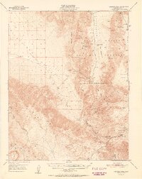
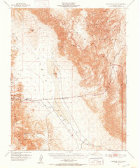
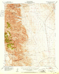
Other maps of this area

1908 · Ballarat
USGS Topo · 1:250,000

1913 · Ballarat
USGS Topo · 1:250,000

1948 · Death Valley
USGS Topo · 1:250,000
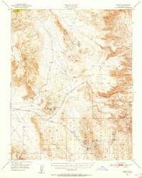
1950 · Darwin
USGS Topo · 1:62,500
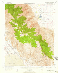
1950 · New York Butte
USGS Topo · 1:62,500
1950 · Ubehebe Peak
USGS Topo · 1:62,500
1951 · New York Butte
USGS Topo · 1:62,500
1951 · Ubehebe Peak
USGS Topo · 1:62,500
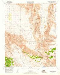
1951 · Panamint Butte
USGS Topo · 1:62,500
1951 · Maturango Peak
USGS Topo · 1:62,500