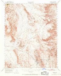
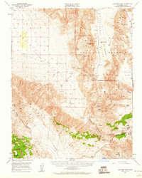
1950 Map of Darwin
USGS Topo · Published 1970About this map
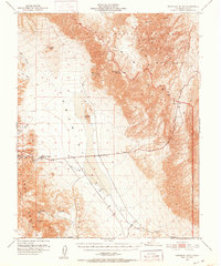
Darwin and its surrounding mineral-rich ranges define this mid-century portrait of Inyo County’s high desert mining landscape. The map highlights an extensive industrial network, centered on the Darwin Mines and the associated Tailings and Lane Mill near the town center. To the west, the Talc City Hills show a concentration of specialized extraction, including the Alliance Talc Mine and the Silver Dollar Mine. This era captures the transition of many workings to inactive status, yet the infrastructure of the mining economy remains prominent.
Find a feature on this map
37 named features on this map. Tap any name to fly to it.
Don’t see what you’re looking for? This feature index may not catch every label — zoom into the map to look around manually.
Map Details
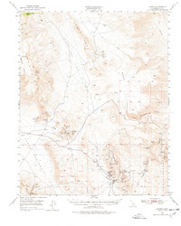
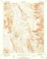
Editions of this 1950 Darwin Map
3 editions found
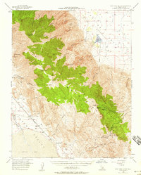
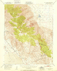
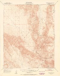
Other maps of this area

1908 · Ballarat
USGS Topo · 1:250,000

1913 · Ballarat
USGS Topo · 1:250,000

1948 · Death Valley
USGS Topo · 1:250,000
1950 · Darwin
USGS Topo · 1:62,500
1950 · New York Butte
USGS Topo · 1:62,500
1950 · Ubehebe Peak
USGS Topo · 1:62,500
1951 · New York Butte
USGS Topo · 1:62,500
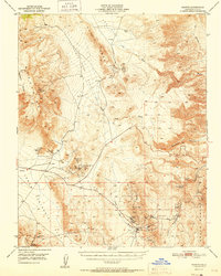
1951 · Darwin
USGS Topo · 1:62,500
1951 · Ubehebe Peak
USGS Topo · 1:62,500
1951 · Panamint Butte
USGS Topo · 1:62,500