
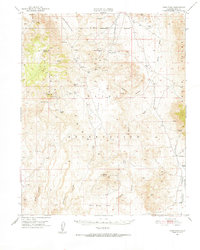
1951 Map of Coso Peak
USGS Topo · Published 1952About this map
Coso Range Reservation and the surrounding high desert of Inyo County are documented here just after the mid-century, revealing a landscape defined by isolated springs and mining prospects. The area is heavily marked by its mineral and geothermal history, with sites like the Silverspoon Mine, Mariposa Mine, and El Conejo Mine dotting the mountainous terrain. Water sources were the vital anchors for any activity in this arid region, evidenced by a network of springs including Coso Springs, Indian Gardens Spr, and China Gardens Spr. Settlement remains sparse and utilitarian, represented by remote outposts such as Dead End Cabin and the Junction Ranch. The presence of the Naval Reservation Boundary suggests the shift toward military land use that would come to define much of this territory, while topographical landmarks like Coso Pk and Louisiana Butte provide dramatic elevation context.
Find a feature on this map
38 named features on this map. Tap any name to fly to it.
Don’t see what you’re looking for? This feature index may not catch every label — zoom into the map to look around manually.
Map Details
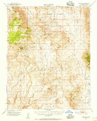
Editions of this 1951 Coso Peak Map
3 editions found
Other maps of this area

1908 · Ballarat
USGS Topo · 1:250,000

1913 · Ballarat
USGS Topo · 1:250,000

1915 · Searles Lake
USGS Topo · 1:250,000

1947 · Trona
USGS Topo · 1:250,000

1948 · Trona
USGS Topo · 1:250,000

1948 · Death Valley
USGS Topo · 1:250,000

1949 · Trona
USGS Topo · 1:62,500

1950 · Trona
USGS Topo · 1:62,500

1950 · Darwin
USGS Topo · 1:62,500

1951 · Darwin
USGS Topo · 1:62,500