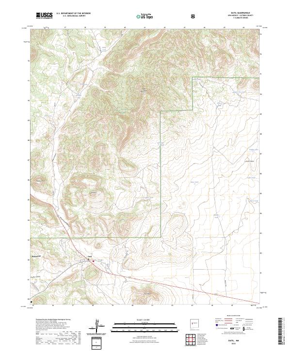
2023 Map of Datil
USGS Topo · Published 2023About this map
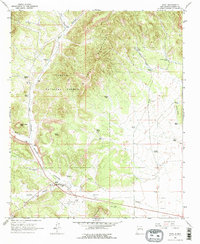
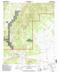
Datil and the neighboring settlement of Homestead anchor this high-desert landscape in Catron County, positioned where the high plains meet the northern slopes of the Datil Mountains. Much of the northern terrain is managed within the Cibola National Forest, a region defined by dramatic vertical features like Indian Peak, Twin Peaks, and the Church Rocks formation. The drainage patterns reflect a land where water is a vital resource, evidenced by numerous tanks such as Clark Tank, Shaw Tank, and Rincon Tank that dot the draws and canyons.
Find a feature on this map
35 named features on this map. Tap any name to fly to it.
Don’t see what you’re looking for? This feature index may not catch every label — zoom into the map to look around manually.
Map Details
Editions of this 2023 Datil Map
This is the sole edition of this map. No revisions or reprints were ever made.