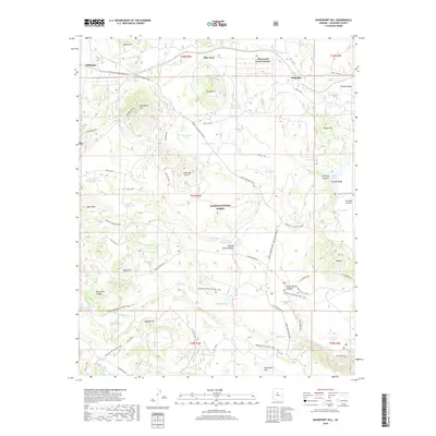
2018 Map of Davenport Hill
USGS Topo · Published 2018About this map
Kaibab National Forest dominates this northern Arizona landscape, where the high desert terrain transitions into the forested uplands near Williams. The settlement patterns here are defined by early ranching and homesteading, evidenced by family-named water sources like Pouquette Homestead Tank and Moose Ranch Tank. Transportation history is layered across the quadrangle, from the established routes of Chalender and Sherwood Forest Estates to the protected corridors of the Overland Road Historic Trail and the Great Western Trail. Notable topographic features like Davenport Hill and the Sycamore Rim provide dramatic elevation changes, while flatlands such as Garland Prairie and Pitman Valley offer a record of the area's grazing history. The presence of numerous tanks and springs, including Ross Spring and Isham Spring, highlights the critical importance of water management in this arid timberland.
Find a feature on this map
77 named features on this map. Tap any name to fly to it.
Don’t see what you’re looking for? This feature index may not catch every label — zoom into the map to look around manually.
Map Details
Editions of this 2018 Davenport Hill Map
This is the sole edition of this map. No revisions or reprints were ever made.
Other maps of this area

1886 · San Francisco Mtns
USGS Topo · 1:250,000

1886 · Chino
USGS Topo · 1:250,000

1891 · San Francisco Mtns
USGS Topo · 1:250,000

1891 · Chino
USGS Topo · 1:250,000

1894 · San Francisco Mtns
USGS Topo · 1:250,000

1899 · San Francisco Mtns
USGS Topo · 1:250,000

1908 · Flagstaff
USGS Topo · 1:125,000

1912 · Flagstaff
USGS Topo · 1:125,000

1922 · Williams
USGS Topo · 1:125,000

1947 · Flagstaff
USGS Topo · 1:250,000