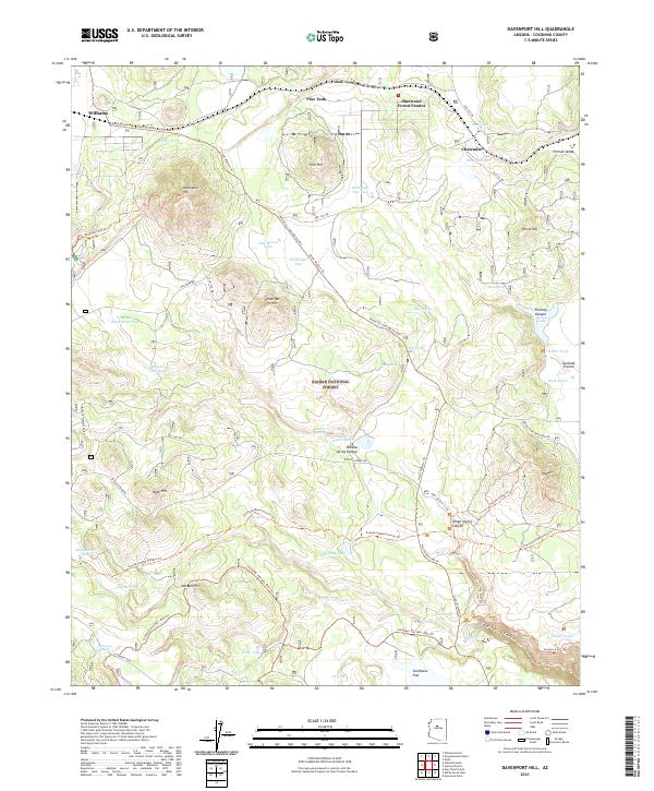
2021 Map of Davenport Hill
USGS Topo · Published 2021About this map
Kaibab National Forest dominates this landscape in the high country of northern Arizona, where the rugged topography of Davenport Hill and Pine Hill gives way to sprawling meadows like McDougal Flat and Sunflower Flat. The map documents a complex network of forest roads and trails, including the Overland Road Historic Trl, which reflects the early transit routes through the Coconino plateau. Settlement is concentrated along the northern edge in communities like Williams and Sherwood Forest Estates, while the interior remains defined by ranching and timber infrastructure.
Find a feature on this map
73 named features on this map. Tap any name to fly to it.
Don’t see what you’re looking for? This feature index may not catch every label — zoom into the map to look around manually.
Map Details
Editions of this 2021 Davenport Hill Map
This is the sole edition of this map. No revisions or reprints were ever made.
Other maps of this area

1886 · San Francisco Mtns
USGS Topo · 1:250,000

1886 · Chino
USGS Topo · 1:250,000

1891 · San Francisco Mtns
USGS Topo · 1:250,000

1891 · Chino
USGS Topo · 1:250,000

1894 · San Francisco Mtns
USGS Topo · 1:250,000

1899 · San Francisco Mtns
USGS Topo · 1:250,000

1908 · Flagstaff
USGS Topo · 1:125,000

1912 · Flagstaff
USGS Topo · 1:125,000

1922 · Williams
USGS Topo · 1:125,000

1947 · Flagstaff
USGS Topo · 1:250,000