2023 Map of Davenport
USGS Topo · Published 2023About this map
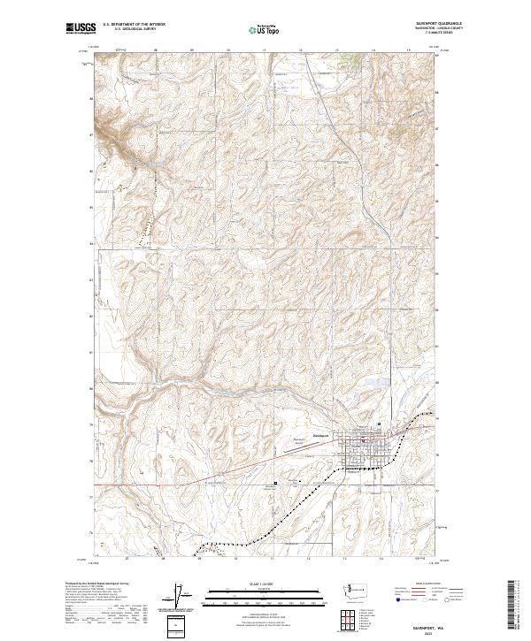
Davenport serves as the focal point of this Eastern Washington landscape, anchored by the Lincoln County Courthouse and situated among the undulating coulees and wheat fields of the Columbia Plateau. The map reveals a highly structured grid of section lines and rural roads named after local families, such as Geissler Rd N, Phar Rd, and Stubbs Rd, which delineate the agricultural land. Several seasonal and perennial watercourses carve through the terrain, including Cottonwood Creek, Stock Creek, and Hawk Creek, eventually feeding into deeper formations like Trinkle Canyon and Harker Canyon.
Find a feature on this map
70 named features on this map. Tap any name to fly to it.
Don’t see what you’re looking for? This feature index may not catch every label — zoom into the map to look around manually.
Map Details
Editions of this 2023 Davenport Map
This is the sole edition of this map. No revisions or reprints were ever made.