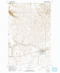
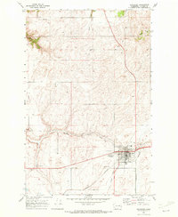
1969 Map of Davenport
USGS Topo · Published 1993About this map
Davenport serves as the focal point of this late 1960s survey, showing the Lincoln County seat as a developed hub of civic and agricultural infrastructure. The town is marked by essential local landmarks including the Lincoln Co Hospital, Municipal Airport, and the County Fairgrounds. A notable historical trace is the Old Railroad Grade passing north of town, reflecting the evolution of transportation in this portion of the Inland Empire.
Find a feature on this map
21 named features on this map. Tap any name to fly to it.
Don’t see what you’re looking for? This feature index may not catch every label — zoom into the map to look around manually.
Map Details
Editions of this 1969 Davenport Map
2 editions found
Other maps of this area

1948 · Lincoln
USGS Topo · 1:62,500

1948 · Turtle Lake
USGS Topo · 1:62,500

1950 · Lincoln
USGS Topo · 1:62,500

1950 · Turtle Lake
USGS Topo · 1:62,500

1953 · Ritzville
USGS Topo · 1:250,000

1959 · Ritzville
USGS Topo · 1:250,000

1965 · Ritzville
USGS Topo · 1:250,000

1969 · Bluestem
USGS Topo · 1:24,000
1969 · Mondovi
USGS Topo · 1:24,000

1969 · Rocklyn
USGS Topo · 1:24,000