
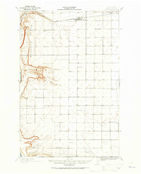
1965 Map of Ritzville
USGS Topo · Published 1965About this map
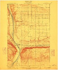
Lake Banks and the massive Grand Coulee dominate this mid-century landscape, illustrating a period of intense hydraulic and agricultural transformation across Central Washington. The map details the complex irrigation infrastructure of the era, from the North Dam and South Dam to the extensive Quincy Lateral and various pumping stations that redistributed water from the Columbia River. Industrial and military footprints are prominent, including the Utah and Idaho Sugar Refinery near Moses Lake, alongside Ephrata Air Base and Larson Air Force Base.
Find a feature on this map
233 named features on this map. Tap any name to fly to it.
Don’t see what you’re looking for? This feature index may not catch every label — zoom into the map to look around manually.
Map Details
Editions of this 1965 Ritzville Map
This is the sole edition of this map. No revisions or reprints were ever made.
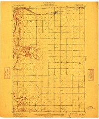
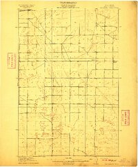
Other maps of this area

1899 · Methow
USGS Topo · 1:125,000

1901 · Chelan
USGS Topo · 1:125,000

1901 · Methow
USGS Topo · 1:125,000

1905 · Okanogan
USGS Topo · 1:125,000
1909 · Quincy
USGS Topo · 1:62,500
1910 · Quincy
USGS Topo · 1:62,500
1910 · Winchester
USGS Topo · 1:62,500

1911 · Red Rock
USGS Topo · 1:62,500
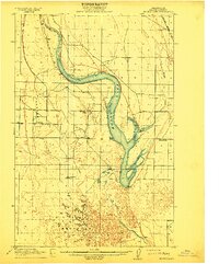
1912 · Moses Lake
USGS Topo · 1:62,500
1912 · Beverly
USGS Topo · 1:62,500